Vitosha Mountain: How to Get There and the Best Hikes
Vitosha is the mountain at the end of Sofia's streets, a rounded massif that tops out at 2,290 meters about 15 km from the center. Metro line 2 and one bus take you to its marked trails. This guide covers how to get up in 2026 without a car, the walks I'd pick, the huts, skiing at Aleko and what the weather does up there.
Vitosha Mountain at a glance
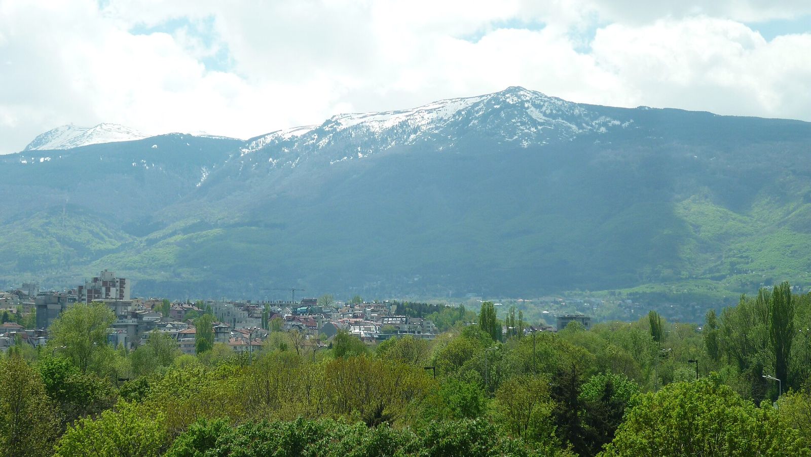
Vitosha rises straight out of Sofia's southern suburbs. It is the fourth highest mountain range in Bulgaria and the only dome-shaped one, so from the city it looks like one long, rounded wall.
Most of the mountain is Vitosha Nature Park, set up in 1934 as the first nature park in Bulgaria and the oldest on the Balkans. Two reserves sit inside it: Bistrishko Branishte and Torfeno Branishte, the peat bog on the high plateau.
How to get to Vitosha from Sofia
The neighborhoods closest to the trails are Knyazhevo, Boyana, Dragalevtsi and Simeonovo, all on the city's southern edge. Higher up, Aleko hut and Zlatnite Mostove sit on the mountain itself at the end of paved roads.
| Starting point | How to get there | Good for |
|---|---|---|
| Aleko hut (1,810 m) | Metro line 2 to Vitosha station, then bus 66 | Cherni Vrah, Kamen Del, skiing |
| Boyana | Metro line 2 to Vitosha station, then bus 64 to Boyansko Hanche | Boyana Waterfall, Boyana Church |
| Knyazhevo | Tram 5 to the end of the line | Kopitoto and the TV tower |
| Zlatnite Mostove | Car or taxi, with parking | The stone river, short strolls |
| Simeonovo | Trail from the village square | The long walk up to Aleko |
| Bistritsa | Car or taxi | The flat Panoramic Path |
The bus is the cheap way up. Sofia's metro line 2 runs south to its last stop, Vitosha, and bus 66 leaves from beside the station for Aleko, as high as public transport goes on the mountain. It runs more often at weekends than on weekdays, so check the timetable the night before.
A taxi from the center to Aleko or Zlatnite Mostove takes 20 to 30 minutes, depending on traffic. Taxis in Sofia show their tariff on a side window, and on a weekday a cab up the mountain road is the quickest way to the high trails. Aleko has a free parking lot, but it often overflows at weekends and cars line both sides of the road below it.
The best hikes on Vitosha
Vitosha has a dense net of marked trails, and these are the seven walks I'd pick.
| Walk | Start | Time | Effort |
|---|---|---|---|
| Kamen Del | Aleko hut | Under 2 hours | Easy |
| Cherni Vrah | Aleko hut | 1.5 to 2 hours up | Moderate, exposed to weather |
| Boyana Waterfall | Boyana Church | 1 to 1.5 hours up | Moderate, steep on the river path |
| Kopitoto | Knyazhevo | 2 to 2.5 hours up, about 700 m of climb | Moderate |
| Zlatnite Mostove | Zlatnite Mostove parking | Short strolls | Easy |
| Panoramic Path | Bistritsa | 8 km there and back | Easy, mostly flat |
| Simeonovo to Aleko | Simeonovo | 2.5 to 3 hours up | Moderate, steady climb |
Kamen Del from Aleko
Kamen Del is the rocky top you can see from the main streets of Sofia, and plenty of people in the city take it for the summit. The real summit, Cherni Vrah, sits farther south and higher. From Aleko the trail heads south through the forest past Goli Vrah, the top station of the old Dragalevtsi lift, then turns west onto a yellow-marked path across the Torfeno Branishte peat reserve.
The path runs nearly flat to the closed Ushite shelter, with the Ushite rock (1,906 m) on your left. A few hundred meters on, a smaller path to the right crosses a short boulder field to Kamen Del, a pile of rock pointing straight at the city. The walk takes under 2 hours from Aleko, and it is my favorite easy walk on the mountain.
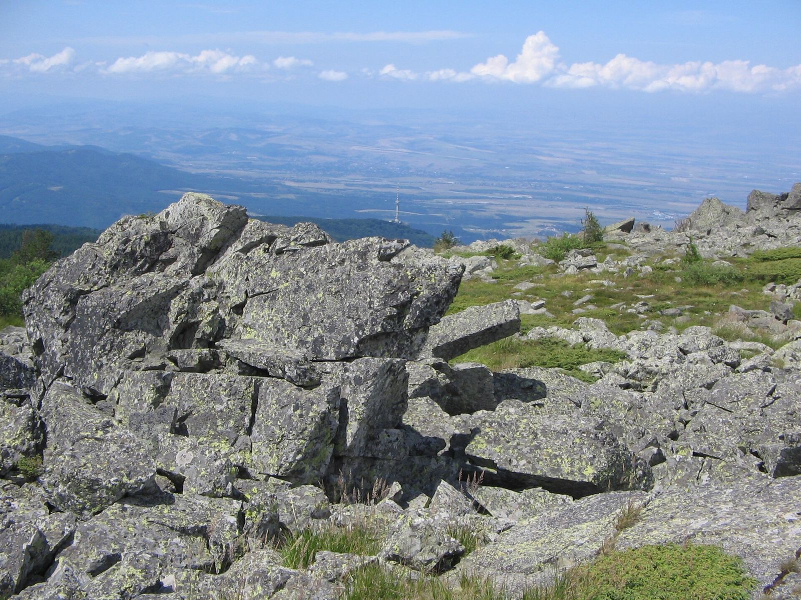
Because the rock faces the city, Kamen Del is one of the best views of Sofia in late-afternoon light. The trail is easy enough for a family walk, and the signs along it are in Bulgarian and English.
Cherni Vrah from Aleko
Cherni Vrah, the Black Peak, is the top of Vitosha at 2,290 m and the most climbed peak in Bulgaria, with tens of thousands of people on it every year. The usual route starts right beside Aleko hut on a red-marked path, part of the E4 European long-distance path, and the top is 1.5 to 2 hours away.
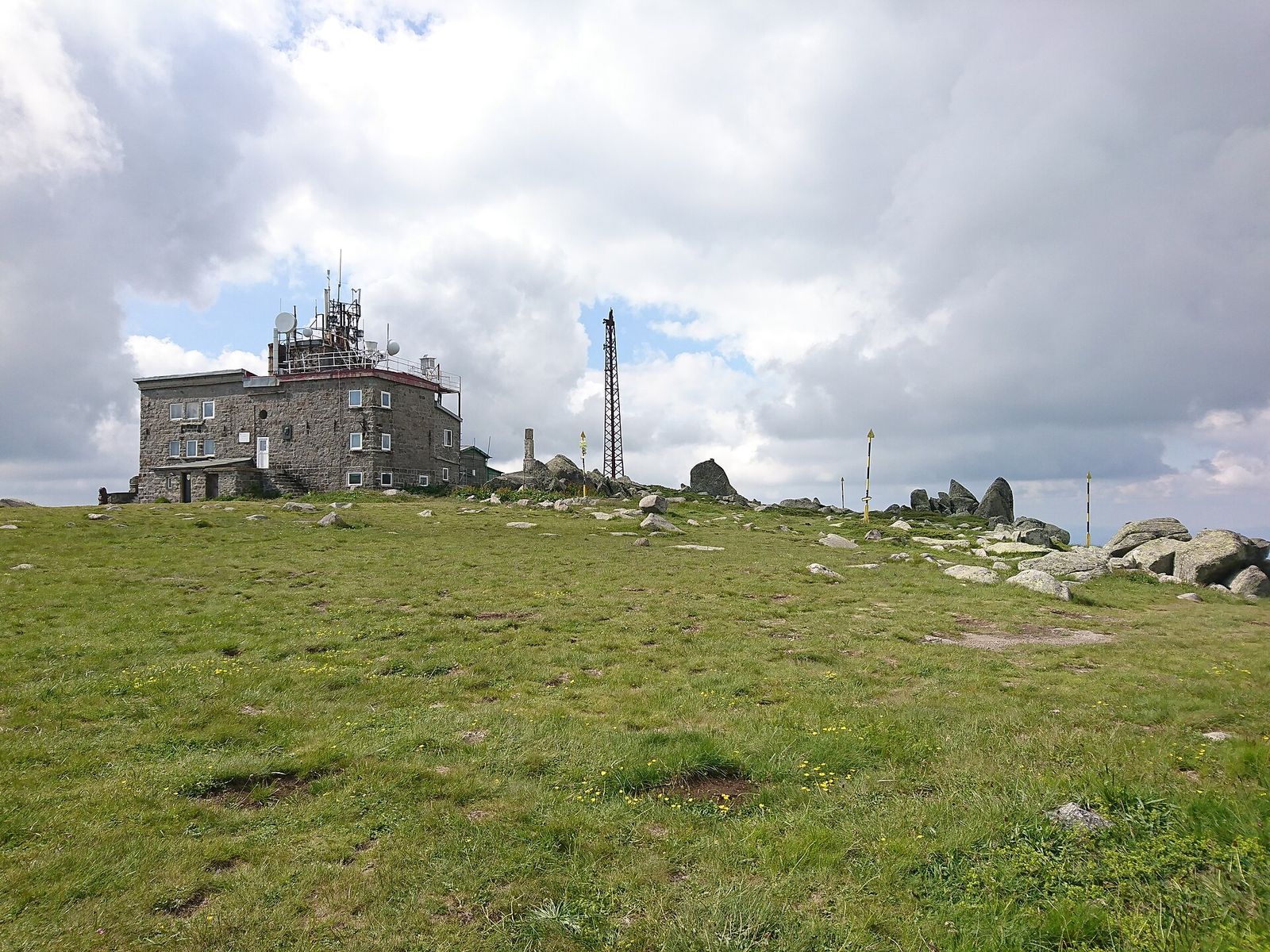
On a clear day you see Rila to the south and the Balkan range to the north. The meteorological station on the summit runs a small teahouse that serves bean soup and cold beer, at weekends only. A bust of the writer Aleko Konstantinov stands up there too. Climbing Cherni Vrah is the walk I'd save for a second day on the mountain, once Kamen Del has shown you how fast the cloud moves up here.
Boyana Church to Boyana Waterfall
Boyana Waterfall is the biggest waterfall on Vitosha: the Boyana river drops 25 m at 1,275 m above sea level. It runs fullest in spring when the snow melts, and in winter it freezes over and draws ice climbers.
Take metro line 2 to Vitosha station and bus 64 to the Boyansko Hanche stop in Boyana. From there it is a five-minute walk to Boyana Church, the UNESCO-listed church whose frescoes date from 1259, and the trails to the waterfall start above it.
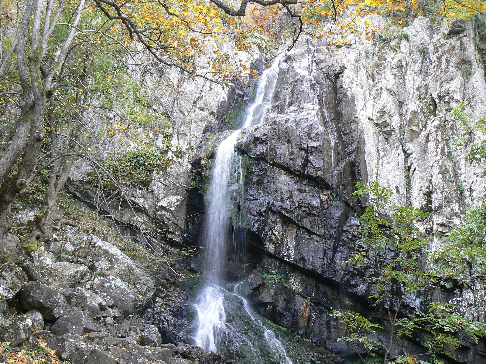
Two marked paths lead up. The riverside path is the steepest, with tricky crossings, and takes about an hour; I'd skip it when it is wet or icy. The green-marked path climbs more gently past Boyana Lake and through the only natural yew forest on Vitosha, and takes about an hour and a half. Its higher bends look out over the city.
The National Historical Museum is in the same district, about 2 km from the church, so the waterfall, the church and the museum fill one long day in Boyana.
Kopitoto and the TV tower
Kopitoto, the hoof, is the rocky knob above the western suburbs that carries the Vitosha TV tower, a reinforced concrete mast built in 1985 at 1,345 m. The tower is closed to visitors. You go for the view over Sofia's western districts from beside it and from the abandoned top station of the old chairlift, which stopped running in 1992.
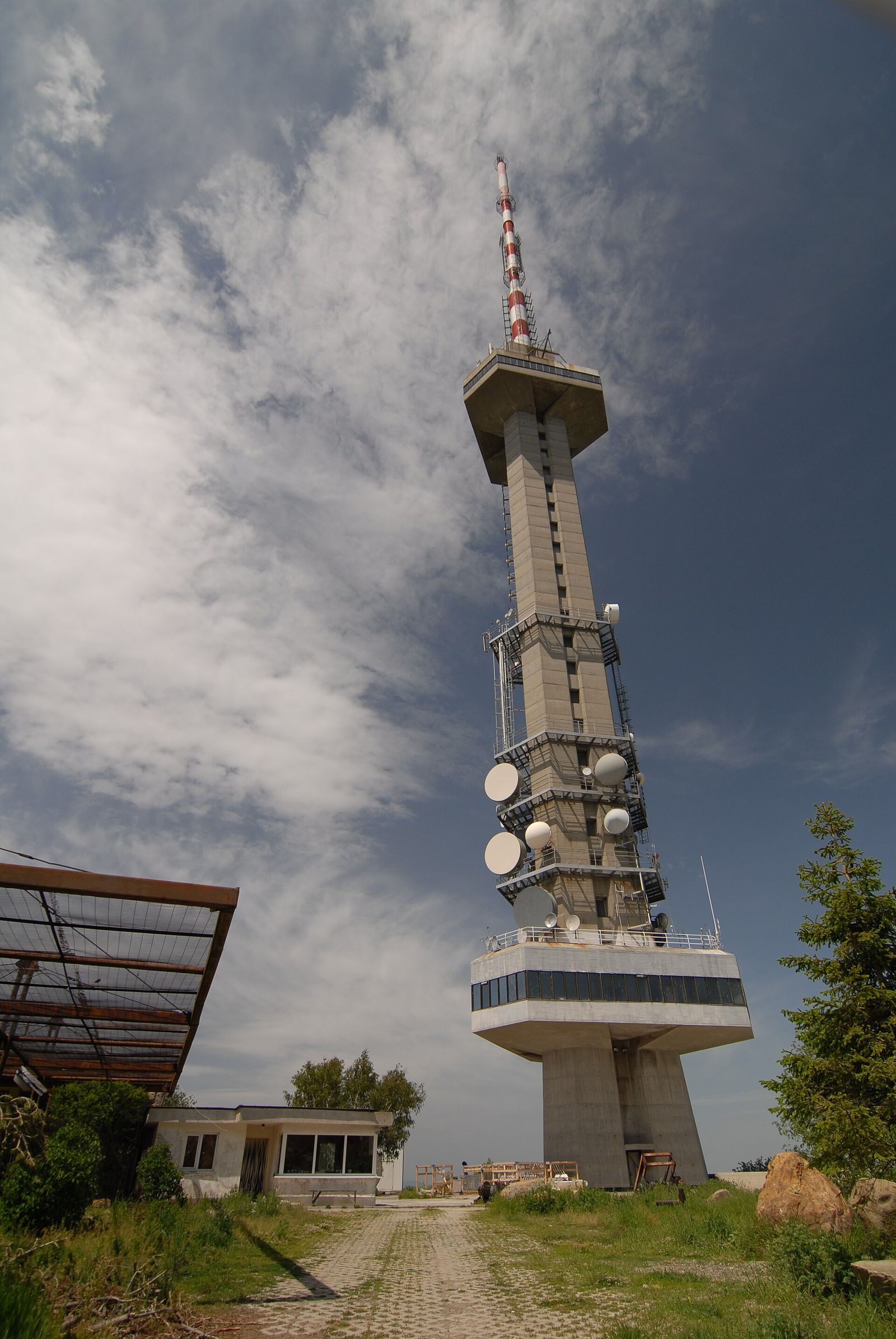
Kopitoto is one of the day hikes near Sofia you can start straight off a tram: tram 5 drops you at the end of the line in Knyazhevo, and trails climb from there to the tower in 2 to 2.5 hours, with about 700 m of ascent. A taxi up and back, with waiting time, costs about €25 to €30. For food, the huts and restaurants at Momina Skala are under 30 minutes' walk south of the tower.
Zlatnite Mostove and the stone river
Zlatnite Mostove, the Golden Bridges, is where Vitosha's biggest stone river runs through the forest: a long band of rounded boulders, called morenite in Sofia, that you can walk across or picnic beside. A taxi or car gets you to the parking area, and short strolls from there suit anyone who wants the mountain without a climb.
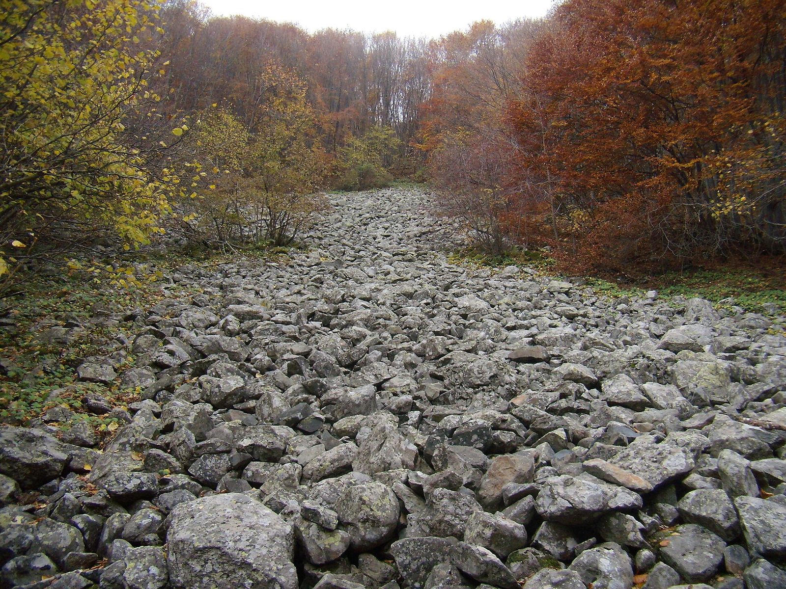
It also links two longer walks. From the village of Vladaya, Zlatnite Mostove is 2 hours on foot, and from there a trail follows the Boyana river down to Boyana Waterfall in about 1.5 hours. The upper route from Boyana Church passes the waterfall and climbs on to Zlatnite Mostove too.
The Panoramic Path from Bistritsa to Zheleznitsa
The Panoramic Path winds around the mountain above the villages and stays mostly flat. The best stretch runs between Bistritsa and Zheleznitsa, where wooden signs with sayings line the path and benches and stools sit at intervals for a rest. From Bistritsa square turn right and keep going straight up for about 2 km until you reach the parked cars. The walk to Zheleznitsa and back is 8 km.
Simeonovo to Aleko on foot
With the gondola idle, Simeonovo is a trailhead for the full climb on foot. The path leaves from above the village square and heads into the woods, and where it meets the Panoramic Path the signs for Aleko and Cherni Vrah keep you going straight up. Aleko is 2.5 to 3 hours away.
Huts and food on Vitosha
The huts are where people eat and sleep on the mountain. Many of the old ones have closed, and these six still have beds.
| Hut | Altitude | Beds | Food |
|---|---|---|---|
| Aleko | 1,810 m | 90 | Restaurant, buffet, hikers' kitchen |
| Belite Brezi | 1,311 m | 45 | Buffet, indoor and outdoor restaurant |
| Planinets | 1,367 m | 62 | Restaurant |
| Kamen Del | 1,461 m | 30 | Common dining room |
| Momina Skala | 1,479 m | 35 | Restaurant |
| Planinarska Pesen | 1,692 m | 27 | Buffet and a 40-seat mehana |
For a long walk I'd still pack a picnic, water and a sandwich, because the teahouse on Cherni Vrah only opens at weekends.
Skiing on Vitosha
In winter Aleko turns into a small ski area. In September 2026 the operator, Vitosha Ski, listed the Vitoshko Lale 1 and 2 lifts as its weekend lifts, weather permitting, and bus 66 is the public transport up.
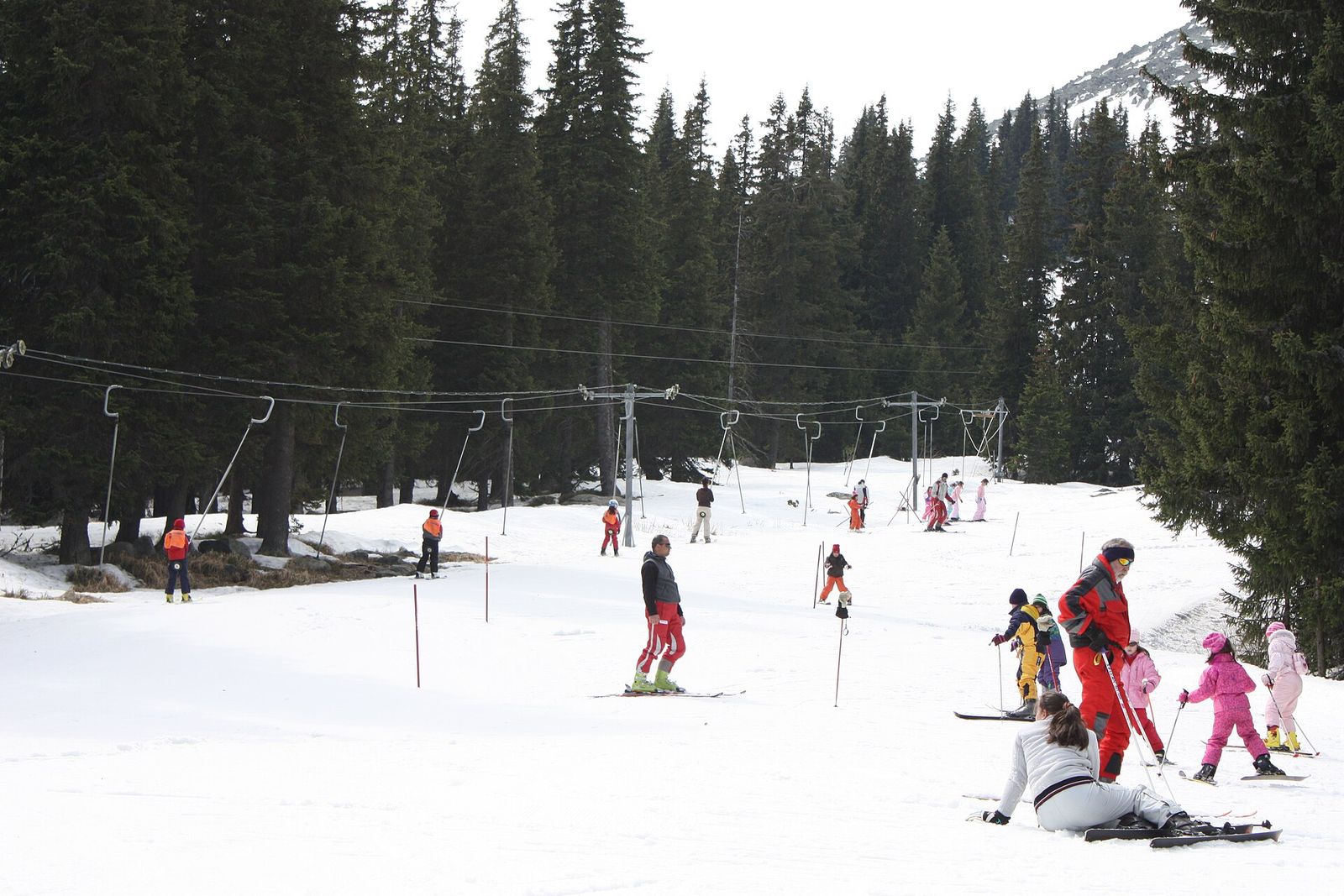
Sofia in winter is cold and gray in the center, and Aleko is the closest place to ski.
When to go to Vitosha and what to bring
I'd walk on Vitosha in spring or autumn. Snow can lie on Cherni Vrah until mid-June, and in summer thunderstorms build over the summit in the afternoon, so start early. In autumn you'll find blueberries, borovinki, along the trails.
Bring a warm layer in every season. The temperature changes quickly, and the moment you stop to rest after a climb is when the cold gets in. Sturdy shoes matter on the Boyana Waterfall paths, which turn slippery after rain.
Vitosha Nature Park: history and rules
In 1895 the writer Aleko Konstantinov led the first mass hike to Cherni Vrah, and it led straight to the first tourist association in the country. Aleko hut is named after him.
Of the two reserves inside the park, Bistrishko Branishte was on UNESCO's list of biosphere reserves from 1977 to 2021. Mineral springs rise at the foot of the mountain in Pancharevo, Bosnek, Zheleznitsa, Rudartsi and Knyazhevo.
Camping is prohibited anywhere in the park, so a night on the mountain means a bed in one of the huts.
Is Vitosha worth it?
Yes, if the weather is clear and you have half a day. Few capitals put a 2,290 m peak a bus ride from the metro, and an afternoon on Kamen Del shows you the shape of Sofia better than any rooftop. Who I'd send up:
- Walkers with one free afternoon. Bus 66 to Aleko and the Kamen Del trail fit between lunch and dinner.
- Families. The Kamen Del walk is flat for most of its length, and Zlatnite Mostove needs no climbing at all.
- Hikers. Cherni Vrah is a proper summit, and from Simeonovo it is a full day on foot.
- Skiers on a city break. A morning on the Aleko slopes fits between two city days.
Skip it if:
- The mountain is in cloud. You will see fog and nothing else, and the trails get harder to follow.
- It is a weekday, you have no car and you want the high trails. Take the lower routes from Boyana or Knyazhevo, which start from regular city lines.
To the south, the Verila ridge links Vitosha to Rila, the highest mountain in Bulgaria and the home of the Seven Rila Lakes, which is where I'd go once Vitosha feels too easy.
Key takeaways
- Vitosha tops out at 2,290 m on Cherni Vrah, about 15 km from the center of Sofia.
- Metro line 2 to Vitosha station plus bus 66 gets you to Aleko; the Simeonovo gondola is not running in 2026.
- Kamen Del from Aleko is the easiest good walk, under 2 hours with a view straight down on the city.
- Boyana Church to Boyana Waterfall is the best half day closer to town, 1 to 1.5 hours up.
- The weather turns fast in every season, so carry a warm layer and check the forecast first.
Frequently asked questions
How do I get to Vitosha mountain from Sofia?
Take metro line 2 to its last stop, Vitosha, then bus 66 to Aleko hut at 1,810 m. For Boyana Waterfall take bus 64 from the same station to Boyana, and for Kopitoto take tram 5 to Knyazhevo. A taxi from the center to Aleko takes 20 to 30 minutes.
How long does it take to climb Vitosha?
Cherni Vrah, the top of Vitosha, takes 1.5 to 2 hours from Aleko hut on the red-marked path. On foot from Simeonovo at the bottom, Aleko alone is 2.5 to 3 hours, so a full climb from the city is a long day.
Is Vitosha mountain worth it?
Yes, on a clear day. Bus 66 from Vitosha metro station climbs to 1,810 m, with easy walks like Kamen Del and harder ones like Cherni Vrah starting at the stop. On a cloudy day I'd stay in the city.
Is the Simeonovo gondola working?
No, the Simeonovo gondola is not operating in 2026. Bus 66 from Vitosha metro station and taxis from the center are the ways up to Aleko.
Can you ski on Vitosha?
Yes, Aleko is a small ski area, and Vitosha Ski runs its Vitoshko Lale 1 and 2 lifts at weekends, weather permitting. Bus 66 runs up from Vitosha metro station.
What mountains are around Sofia?
Vitosha rises directly south of the city. To the west the Vladaya saddle separates it from the smaller Lyulin mountain, and to the east lies the lower, spread-out Plana. Farther south, the Verila ridge connects Vitosha to Rila, the highest mountain in Bulgaria.
Can you camp on Vitosha?
No, camping is prohibited across Vitosha Nature Park. The mountain huts, such as Aleko with 90 beds and Planinets with 62, are the places to stay overnight.
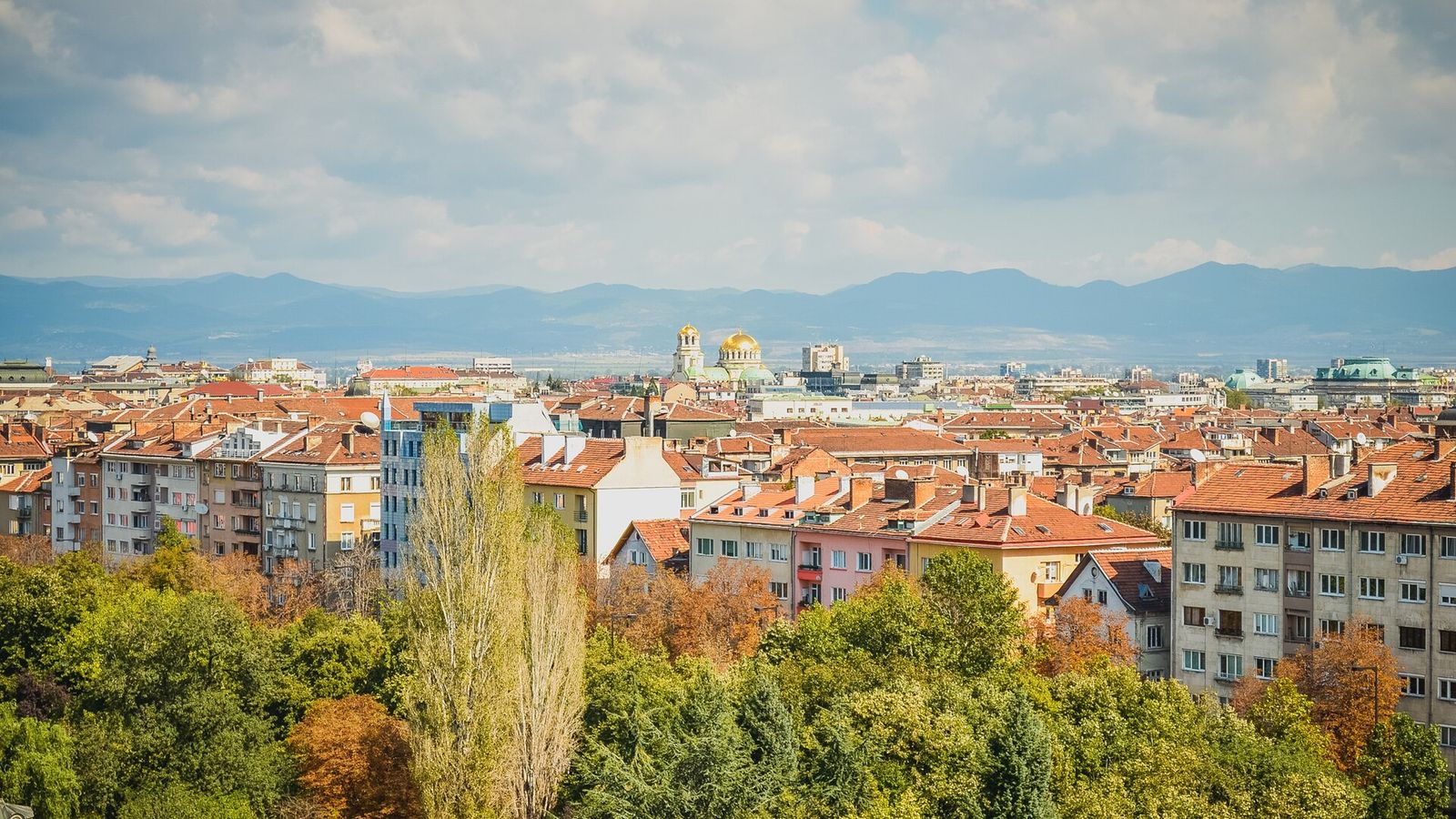
25 Best Things to Do in Sofia in 2026
Sofia packs 2,000 years into a walkable center. The 25 sights, museums, foods and day trips I'd put first, with prices.
Read the guide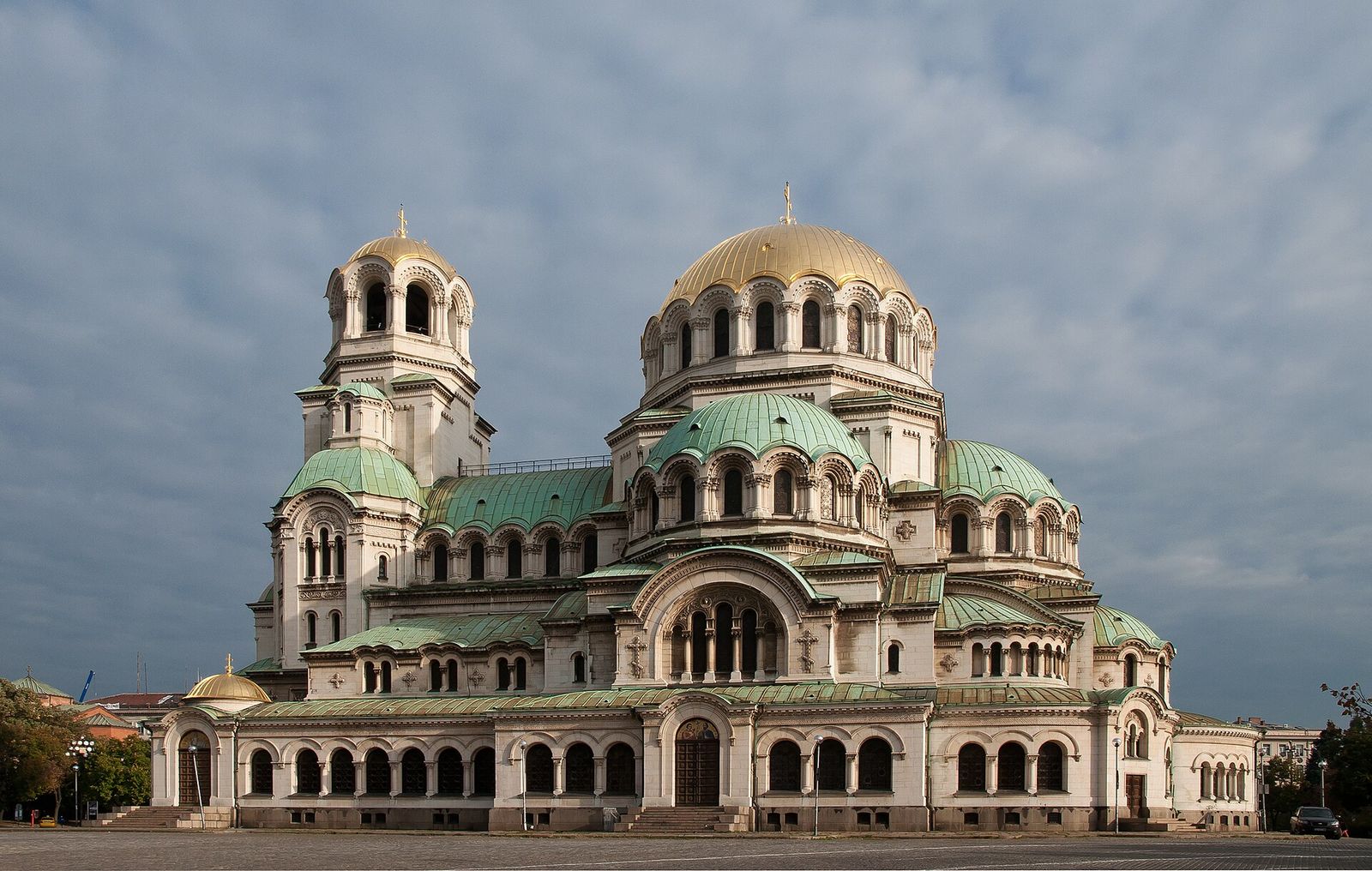
Alexander Nevsky Cathedral in Sofia: A Visitor's Guide
Sofia's gold-domed landmark is free to enter. Here is its story, what to see inside, the crypt museum and when to go.
Read the guide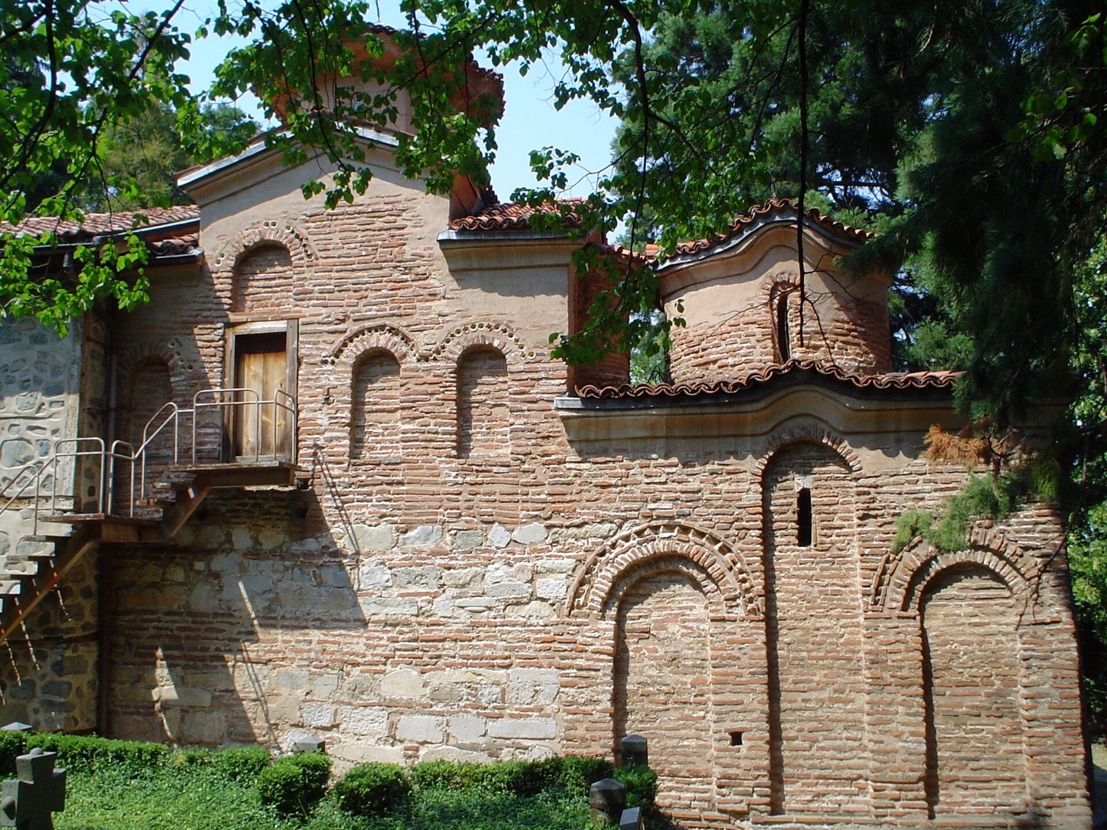
Boyana Church: Visiting Sofia's UNESCO Frescoes
A tiny UNESCO church under Vitosha with frescoes from 1259. Tickets, time slots, the bus out and what to find inside.
Read the guide