Cherni Vrah: How to Hike to the Top of Vitosha from Sofia
Cherni Vrah, the Black Peak, is the 2,290 meter top of Vitosha, the mountain about 15 km south of central Sofia, and the most climbed summit in Bulgaria. The short route from Aleko hut takes about an hour and a half. This guide covers getting to Aleko by metro and bus, the climb itself, four longer routes, what is on the summit and the weather you should plan for.
Cherni Vrah at a glance
Cherni Vrah sits in the middle of Vitosha Nature Park, the first nature park in the Balkans, set up in 1934. Vitosha is the fourth-highest mountain in Bulgaria: only the tops of Rila (Musala, 2,925 m), Pirin (Vihren, 2,914 m) and the Balkan range (Botev, 2,376 m) are higher. None of those comes close to Cherni Vrah for visitors. Tens of thousands of people reach the top every year, because the trail starts at the end of a city bus line, which makes it the easiest of the mountain day trips from Sofia.
How to get to Aleko hut from Sofia
Every easy plan for Cherni Vrah starts at Aleko hut, the big mountain hut at the end of the paved road up Vitosha. It sits at 1,810 m, so the bus or car does most of the climbing from the city for you.
| Way up | How it works | Time from the center | Good for |
|---|---|---|---|
| Bus 66 | Metro line 2 to Vitosha station, then bus 66 to its last stop | About 50 minutes on the bus | Weekends, no car |
| Taxi | Straight up the mountain road to Aleko | 20 to 30 minutes | Weekdays, groups |
| Car | Road from Dragalevtsi, just over 15 km to the end at Aleko | Close to the taxi time | Early starts |
| On foot | Trail from Simeonovo to Aleko | 2.5 to 3 hours up | A full day on foot |
Bus 66 is the way most people without a car get up. Take Sofia's metro line 2 south to its last stop, Vitosha, and catch the bus beside the station. The ride takes about 50 minutes. The last stop is opposite the Moreni hotel and restaurant, and from there Aleko hut is about 700 m further up the road on foot. The fare is the normal city fare, €0.80, and you can tap a contactless bank card on the validator.
On a weekday I'd take a taxi. Taxis in Sofia show their tariff on a side window, and a cab from the center to Aleko takes 20 to 30 minutes. If you drive, the free parking at the hut fills up at weekends and overflows down the road, so I'd arrive early.
The Simeonovo gondola, which used to lift people from the edge of the city to Aleko, is not running in 2026, so ignore any route plan that still includes it. Some hikers walk up from Simeonovo instead: the trail leaves the village and reaches Aleko in 2.5 to 3 hours, which turns Cherni Vrah into a full day on foot.
The route from Aleko hut to Cherni Vrah
The standard climb from Aleko is 3 km long, gains about 476 m and takes about an hour and a half at a steady pace. It follows red markings and is part of the E4 European long-distance path, so the waymarks are frequent and easy to follow in clear weather.
From the fountain on the south side of Aleko hut, the path heads straight up the slope in front of you. This first stretch is the Wall, the steepest part of the climb, and it takes about 45 minutes. You can climb it direct or zigzag with the red markers, which is easier on the legs. Look back as you go: Sofia spreads out below Aleko, with the Balkan range behind it.
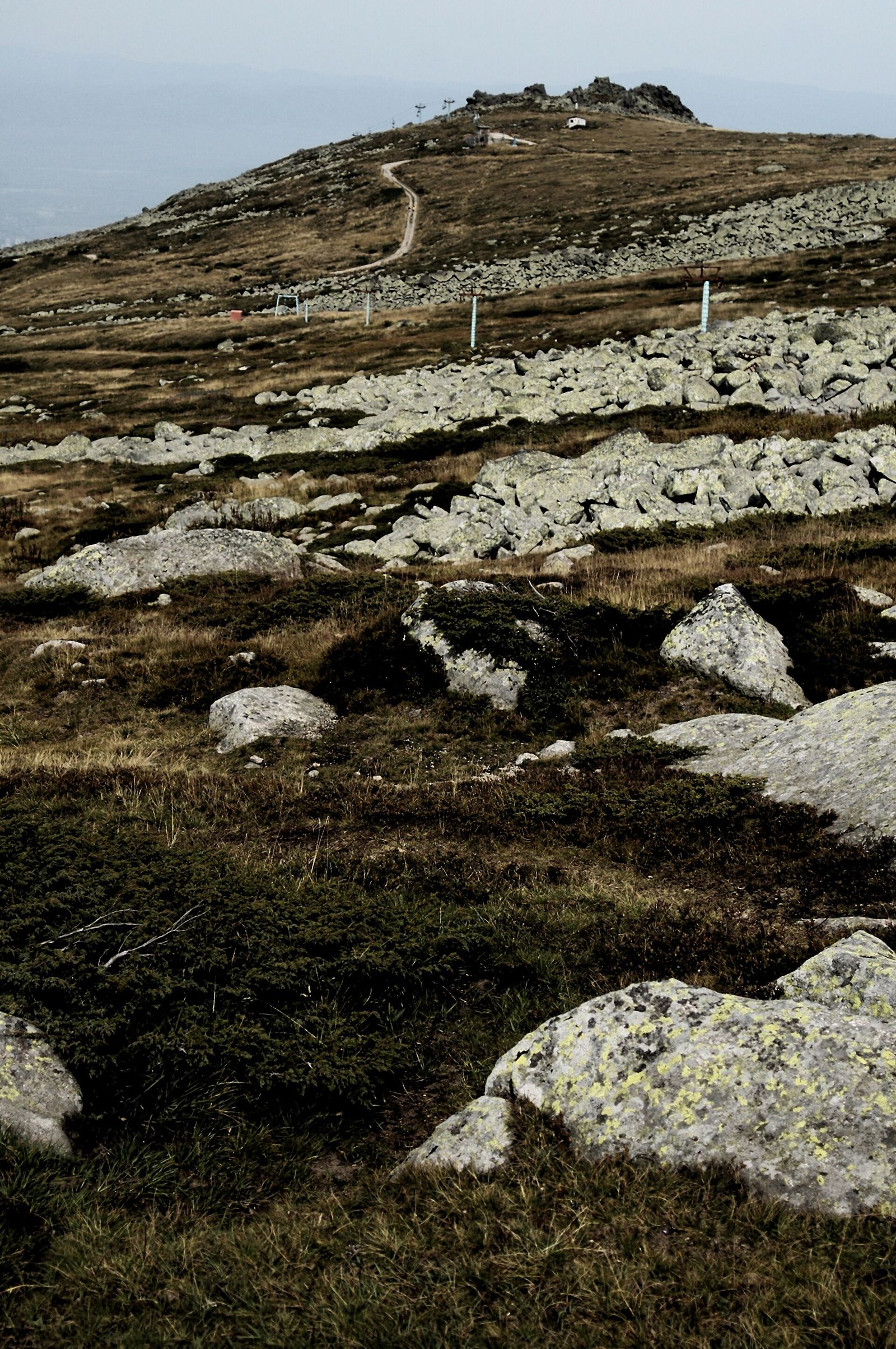
At the top of the Wall there is a small shelter, and the path joins the dirt track that comes over from Goli Vrah. Turn left onto the track. After about 450 m, at a black and yellow post numbered 39, the track carries on toward the radar station, a white dome on your left, and a footpath leads straight ahead to the summit. The last stretch takes about half an hour. On your right lies Torfeno Branishte, the peat bog reserve on the plateau.
Past the Wall the path is wide and the slope gentle all the way to the top. Expect company at weekends, because this is the way most people come up.
Without a car, you do not have to come back the same way. A blue-marked trail drops from the summit ridge past Kumata hut to Zlatnite Mostove, the stone river in the forest, and from there a trail follows the Boyana river down to Boyana Waterfall and the village of Boyana, where Boyana Church holds frescoes from 1259. It makes a long traverse of the mountain, and bus 64 from Boyana takes you back to Vitosha metro station. For a gentler day, the two short walks I'd pick on Vitosha Mountain are Kamen Del, under 2 hours from Aleko, and Boyana Waterfall, 1 to 1.5 hours above Boyana Church.
Other routes up Cherni Vrah
Aleko is the shortest way up, and four longer routes climb Cherni Vrah from the other sides of the mountain. They gain 864 to 1,280 m and take 3.5 to 5 hours up, so each one makes a full day hike. Times below are walking time up, without breaks.
| Start | How to reach it | Distance | Climb | Time up | Markings |
|---|---|---|---|---|---|
| Aleko hut | Bus 66 or taxi | 3 km | 476 m | 1.5 hours | Red |
| Zlatnite Mostove via Kumata hut | Car or taxi | 7.7 km | 864 m | 3.5 hours | Blue |
| Selimitsa hut | Car, or on foot from Kladnitsa | 7.8 km | 1,079 m | 3.5 hours | Red |
| Zheleznitsa | City bus 69 or 98 to the village | 8.6 km | 1,240 m | About 4 hours | Blue |
| Yarlovo | Car to the village | 12.7 km | 1,280 m | 5 hours | Yellow, then the ridge path |
Zlatnite Mostove and Kumata hut. This route starts beside the stone river at Zlatnite Mostove and climbs through forest to Kumata hut at 1,725 m, which keeps you in the shade on hot days. Above the hut you come out into the open, pass Konyarnika, the old ski lifts and the Tri Kladentsi shelter, then join the ridge and the red trail from Selimitsa at the Samara shelter for the final push. Of the four longer routes, this is the one I'd pick for a first time.
Selimitsa hut. Selimitsa sits on the western, Pernik side of Vitosha, reached on an asphalt road or on foot from the village of Kladnitsa. From the hut the red-marked path climbs very steeply to the ridge. From the Samara shelter the summit looks close but is still 1.75 km and 45 to 50 minutes away.
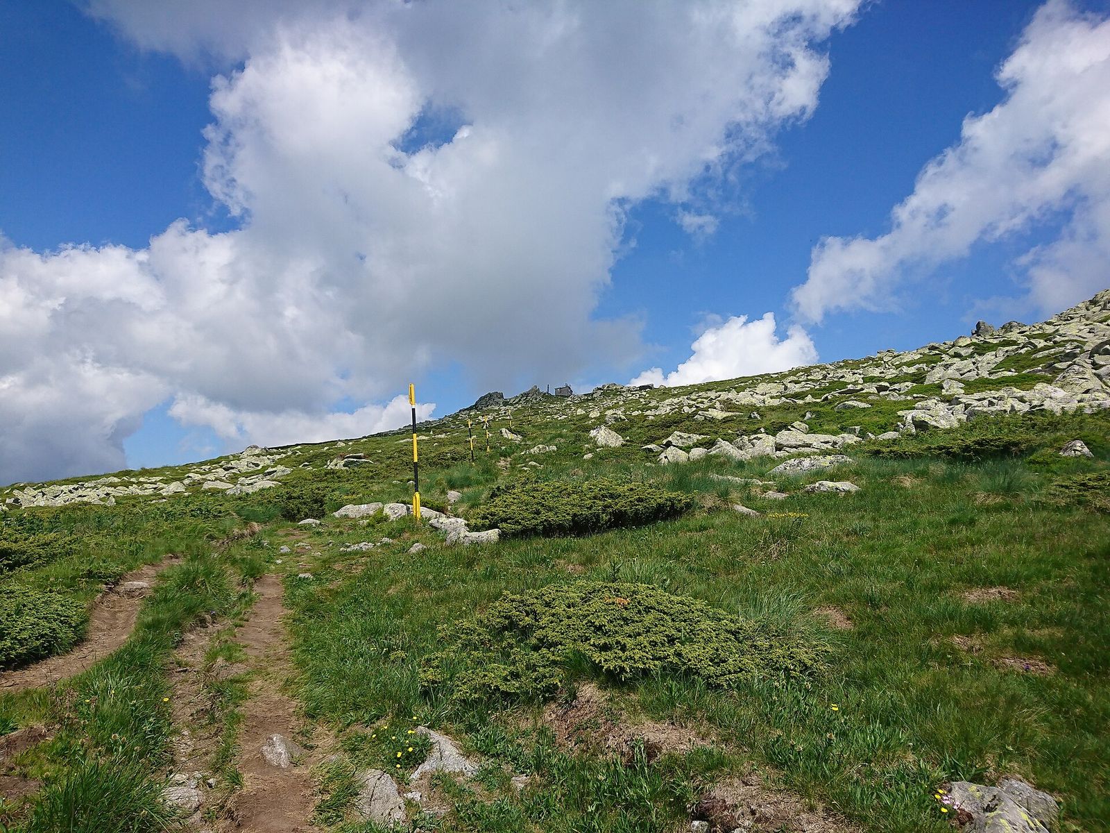
Zheleznitsa. The village of Zheleznitsa, at the southeastern foot of Vitosha, is on city bus lines 69 and 98. The blue trail climbs steeply from the village to the Akademik sports center below Golyam Kupen peak, then joins the path from Yarlovo near Skoparnik peak for the last 1.5 km.
Yarlovo. The longest route starts in Yarlovo, a village on the southern side of the mountain that is best reached by car. A yellow-marked path climbs past Golyam Vetren to Yarlovski Kupen and follows the ridge to the summit, 12.7 km and about 5 hours up.
What you find on the summit
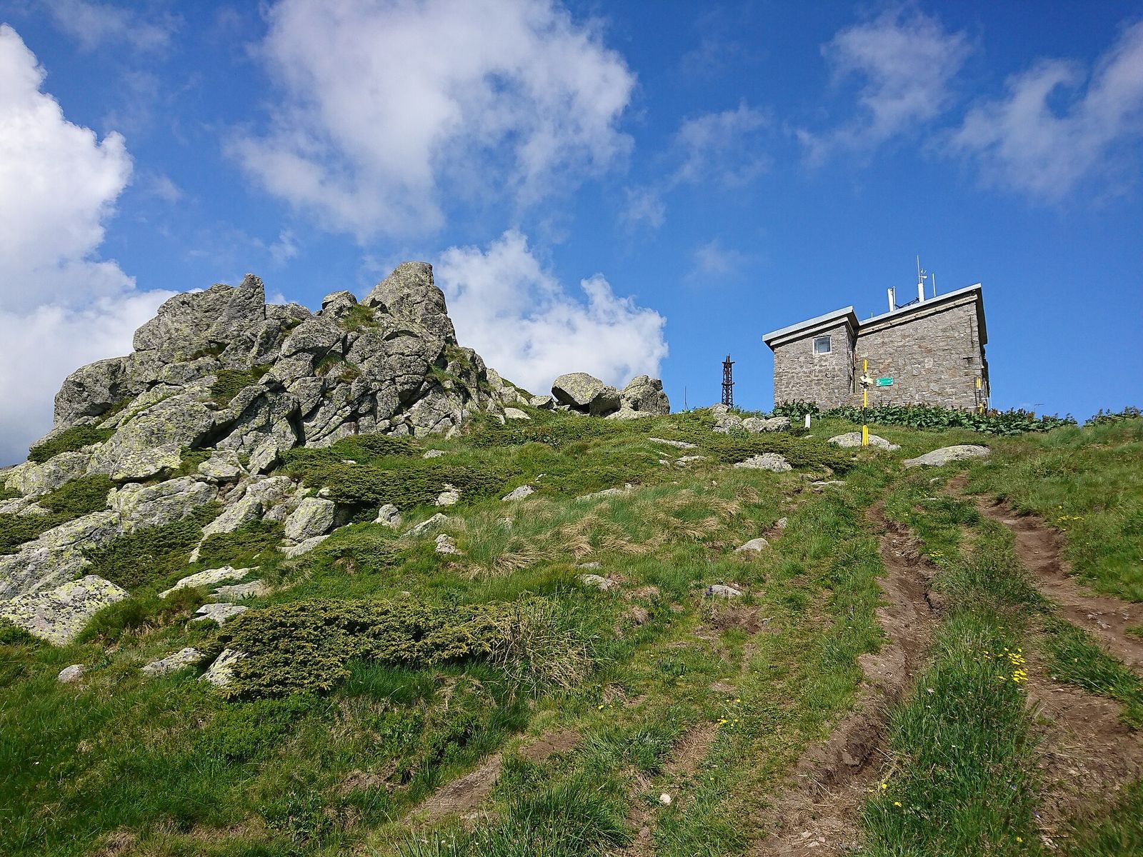
The top of Cherni Vrah is flat, with dark rock outcrops and a few picnic tables. The stone weather station there opened in 1935, a year after the nature park, and it still works. It doubles as a refuge in bad weather, and a Mountain Rescue Service team is based on the peak. Inside, a small cafe serves bean soup and cold beer. I'd count on it being open at weekends and still carry food and water of my own.
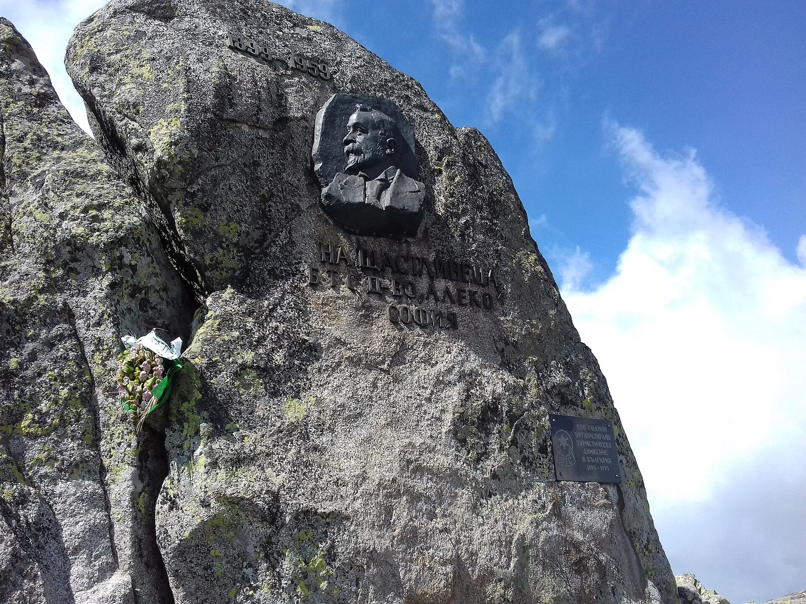
East of the station a large bell hangs in an iron frame. The tradition is to ring it the first time you reach the top. On a rock on the summit, a relief portrait of Aleko Konstantinov marks the man who led the first mass climb in 1895. Cherni Vrah is also No. 74a on the Bulgarian Tourist Union's list of 100 National Tourist Sites.
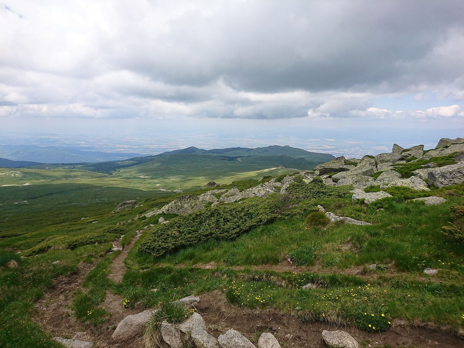
On a clear day the view runs north over Sofia and the Sofia plain to the long wall of the Balkan range, and south to the high peaks of Rila. For range I'd put it first among the viewpoints around Sofia, though haze over the city often softens the northern half. About 30 minutes southeast toward Skoparnik peak, the rocks weather into odd shapes worth the short detour.
Cherni Vrah also sits on the divide between the Black Sea and the Aegean. Rain on its northern slopes drains to the Black Sea, while the southern slopes feed the Struma, which rises on Vitosha and flows to the Aegean.
Weather on Cherni Vrah
Cherni Vrah has a tundra climate, much colder than the city below it. The average temperature over a year is 0.3°C, and even in August the average daytime high is only about 12°C. The station has recorded a low of minus 27.4°C. The summit is also the second windiest peak in Bulgaria, after Murgash in the Balkan range, with an average wind speed of 9.3 meters a second.
| Month | Average daytime high | Average night low |
|---|---|---|
| January | -5.2°C | -9.6°C |
| April | 1°C | -4.3°C |
| July | 12.2°C | 5.7°C |
| August | 12.5°C | 5.8°C |
| October | 4.7°C | -0.8°C |
Snow can lie on the summit until mid-June. In July and August, thunderstorms build over the top in the afternoon. Fog is common in every season.
Climbing Cherni Vrah in winter
Many people climb Cherni Vrah in winter, and I think a clear, still day on the snow plateau is the finest version of the walk. The packed snow on the path from Aleko can freeze to ice, there are avalanche-prone slopes near the summit, and the short days leave little margin if the weather turns.
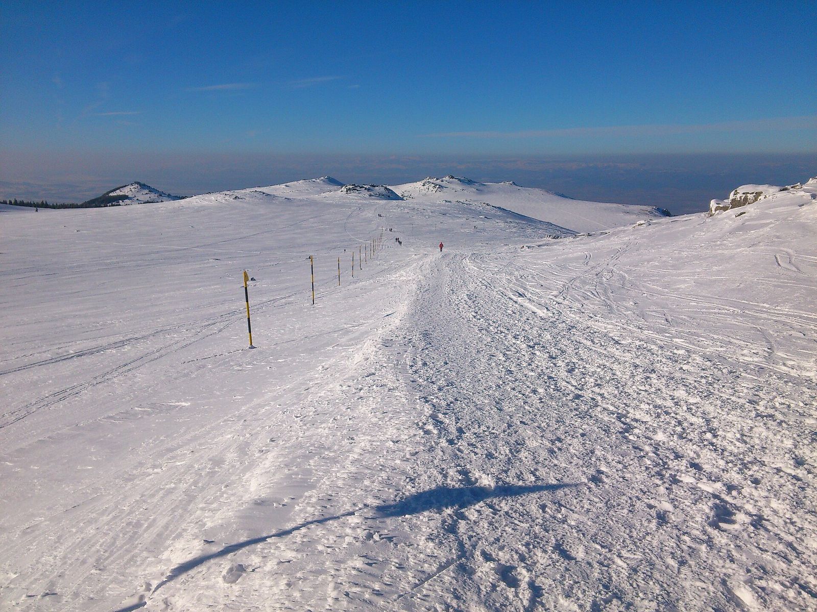
I'd only go up in winter on a forecast of clear sky and light wind, with boots that grip on ice, and I'd turn back at the first sign of fog. The tall marker poles along the route are what you follow when snow covers the path.
Aleko is also Sofia's ski area. When Sofia in winter is gray and cold, the runs around the hut are where locals go for a day on the snow.
The history of Cherni Vrah
On 27 August 1895 the writer Aleko Konstantinov led more than 300 people from Sofia to the top of Cherni Vrah, among them the writer Ivan Vazov. That climb is counted as the start of organized hiking in Bulgaria and led to the country's first tourist association. Hikers still gather on the summit every year on 27 August to mark it, and Aleko hut carries his name.
Nobody is sure where the name Black Peak comes from. One explanation points to the dark rocks on the top, another to the fog that so often sits on it. A third says the high slopes were once covered in dark mountain pine, burned in the Middle Ages to make pasture. A legend even claims King Philip V of Macedon climbed the peak in 181 BC.
Is Cherni Vrah worth it?
Yes, on a clear day, when the top shows you Sofia, the Balkan range and Rila at once. Who I'd send up:
- Travelers without a car. Metro line 2 and bus 66 get you to Aleko on ordinary €0.80 city fares, and the summit is 1.5 hours away.
- First-time hikers. The Aleko route is short, waymarked and busy, so you are rarely alone on it.
- Hikers warming up for Rila. A morning on Cherni Vrah shows you how fast the weather moves above 2,000 m before you take on Musala or the Seven Rila Lakes.
- Anyone with one free weekend day in Sofia. It fits between a late breakfast and dinner in the city.
Skip it if:
- The summit is in cloud. You will see fog and marker poles and nothing else.
- It is a weekday and you have no car. The bus is thin, so take a taxi or pick one of the lower day hikes near Sofia that start from regular city lines.
- It is winter and you have no experience on ice. Ski at Aleko instead.
Key takeaways
- Cherni Vrah, at 2,290 m, is the top of Vitosha and the most climbed summit in Bulgaria.
- Metro line 2 and bus 66 reach Aleko hut; the red-marked path from there is 3 km and about 1.5 hours up.
- Four longer routes start at Zlatnite Mostove, Selimitsa, Zheleznitsa and Yarlovo, taking 3.5 to 5 hours up.
- The summit weather station has a small cafe, a rescue team and a bell to ring on your first climb.
- Carry a warm layer in every season and turn back if the cloud comes down.
Frequently asked questions
How high is Cherni Vrah?
Cherni Vrah is 2,290 m (7,513 ft) high. It is the top of Vitosha, the fourth-highest mountain in Bulgaria after Rila, Pirin and the Balkan range.
How long does it take to climb Cherni Vrah?
About 1.5 hours up from Aleko hut on the red-marked path, which is 3 km with 476 m of climbing. A loop up the direct path and back down the Goli Vrah track is about 9 km and takes about 3 hours 45 minutes. The longer routes from Zlatnite Mostove, Selimitsa, Zheleznitsa and Yarlovo take 3.5 to 5 hours up.
How do I get to the top of Vitosha from Sofia?
Take metro line 2 to Vitosha station, then bus 66 to its last stop at the Moreni hotel and walk 700 m to Aleko hut. From Aleko, follow the red markings to the summit. A taxi to Aleko takes 20 to 30 minutes from the center.
Is Cherni Vrah hard to climb?
No, the route from Aleko is a moderate walk. The first 45 minutes up the Wall are steep, and after that the path across the plateau is wide and gentle. The longer routes climb 864 to 1,280 m and are much harder.
Can you climb Cherni Vrah in winter?
Yes, and many people do, but it needs care. The path can turn icy, there are avalanche-prone slopes near the summit, and fog can hide the trail, so go only on a clear, calm day with boots that grip on ice.
Is there food on Cherni Vrah?
Yes, the weather station on the summit has a small cafe that serves bean soup and cold beer. I'd count on it at weekends and carry my own food and water on any day.
What is the hardest mountain to climb in Bulgaria?
Of the big summits, Vihren in Pirin is the hardest day hike, 5 to 6 hours up from Vihren hut at 1,950 m, and the Koncheto ridge next to it is rated an alpine route of 7 to 9 hours. Musala in Rila is the highest at 2,925 m, but a gondola from Borovets takes away most of the climb.
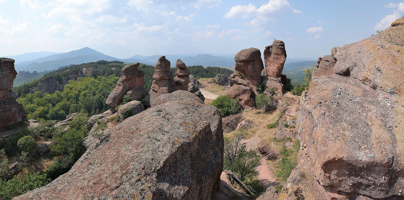
12 Best Day Trips from Sofia by Bus, Train and Car
Bulgaria's top monastery, oldest city and highest peak are a day out of Sofia. The 12 trips I'd pick and how to go.
Read the guide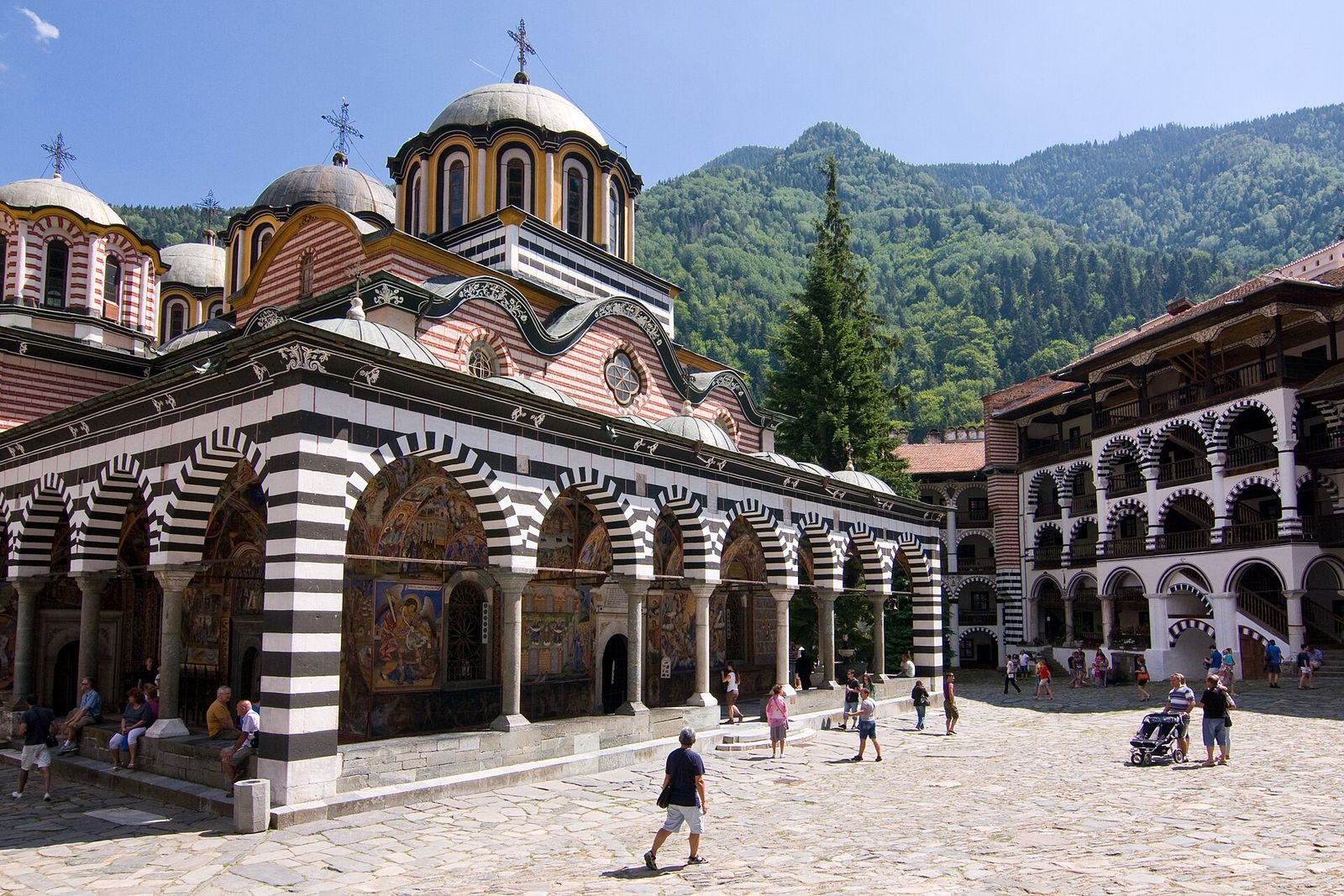
Rila Monastery from Sofia: How to Get There and What to See
Bulgaria's biggest monastery sits two hours from Sofia. How to reach it in 2026, what is free and what to see.
Read the guide
Sofia to Plovdiv: How to Get There and What to See in a Day
Plovdiv is 2 hours from Sofia by bus. Bus, train or car, the last rides home and the day I'd plan there.
Read the guide