Hiking near Sofia: 12 Day Hikes by Bus, Train and Car
Vitosha, a 2,290 m mountain, starts where Sofia ends and is a metro and bus ride from the center, and Rila, the highest range in the Balkans, is about two hours south. These are the 12 day hikes near Sofia I'd pick, grouped by how you get to the trailhead: city bus, train, or an early bus or car to the mountains. Each comes with the walking time, the effort and the transport.
Day hikes near Sofia at a glance
The 12 hikes below are spread over four ranges. Vitosha starts at the city's southern edge, the Iskar Gorge cuts through Stara Planina, the Balkan range, north of Sofia, and Rila, Sredna Gora and the Kom ridge of Stara Planina are each a bus ride or a drive away.
| Hike | Mountain | Start and transport from Sofia | Walking time | Effort |
|---|---|---|---|---|
| 1. Cherni Vrah | Vitosha | Aleko hut: metro line 2, then bus 66 | 1.5 hours up | Moderate |
| 2. Kamen Del | Vitosha | Aleko hut: metro line 2, then bus 66 | Under 2 hours | Easy |
| 3. Boyana Waterfall | Vitosha | Boyana: metro line 2, then bus 64 | 1 to 1.5 hours up | Moderate |
| 4. Kopitoto | Vitosha | Knyazhevo: tram 5 | 2 to 2.5 hours up | Moderate |
| 5. Lakatnik Rocks | Iskar Gorge | Lakatnik station: train, about 1 hour | 1 to 1.5 hours from Lakatnik village up to Trastena hut | Moderate |
| 6. Vazov's eco path | Iskar Gorge | Bov station: train, about 1 hour | About 1.5 hours up | Easy to moderate |
| 7. Seven Rila Lakes | Rila | Pionerska hut chairlift: car, or bus and taxi | 3 to 5 hours | Easy to moderate |
| 8. Musala | Rila | Borovets gondola: bus to Samokov, then minibus | 3 to 4 hours up | Hard |
| 9. Malyovitsa | Rila | Malyovitsa: bus to Samokov, then minibus or taxi | About 5 hours | Hard |
| 10. Beli Iskar eco path | Rila | Beli Iskar village: bus to Samokov, then minibus | 7 km path, about 300 m of climb | Easy |
| 11. Kom | Stara Planina | Petrohan pass: bus toward Berkovitsa | 3 to 3.5 hours | Moderate |
| 12. Bogdan | Sredna Gora | Koprivshtitsa: train, then minibus | 5 to 6 hours | Moderate |
Hikes on Vitosha by city bus
Vitosha begins where the city ends, so these four hikes start from a bus or tram stop and need no car at all. The trails go up from Aleko hut on the high slopes, from Boyana and from Knyazhevo, and the city fare of €0.80 covers each ride. All four are in Vitosha Nature Park, set up in 1934 as the oldest nature park in the Balkans.
1. Cherni Vrah from Aleko hut
Cherni Vrah, the Black Peak, is the 2,290 m top of Vitosha and the most climbed summit in Bulgaria. From Aleko hut the red-marked path is 3 km long, climbs about 476 m and takes about 1.5 hours. The first 45 minutes up the steep slope above the hut are the hard part, and after that the path runs wide and gentle across the plateau to the weather station on the top.
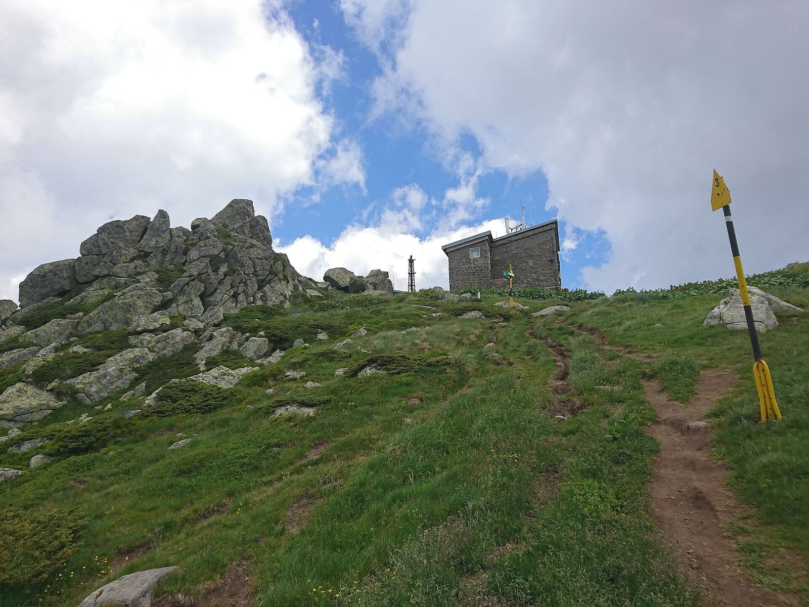
On a clear day you see Sofia to the north and the peaks of Rila to the south. Climbing Cherni Vrah is the hike I'd do first near Sofia, and four longer routes from the other sides of the mountain turn it into a full day if you want more.
2. Kamen Del from Aleko hut
Kamen Del is the rocky top you see from the main streets of Sofia, and many people in the city take it for the summit of Vitosha. From Aleko a yellow-marked trail runs nearly flat across the Torfeno Branishte peat reserve, past the closed Ushite shelter, to a short boulder field and the rock pile on top. It takes under 2 hours and is the easiest good hike on the mountain.
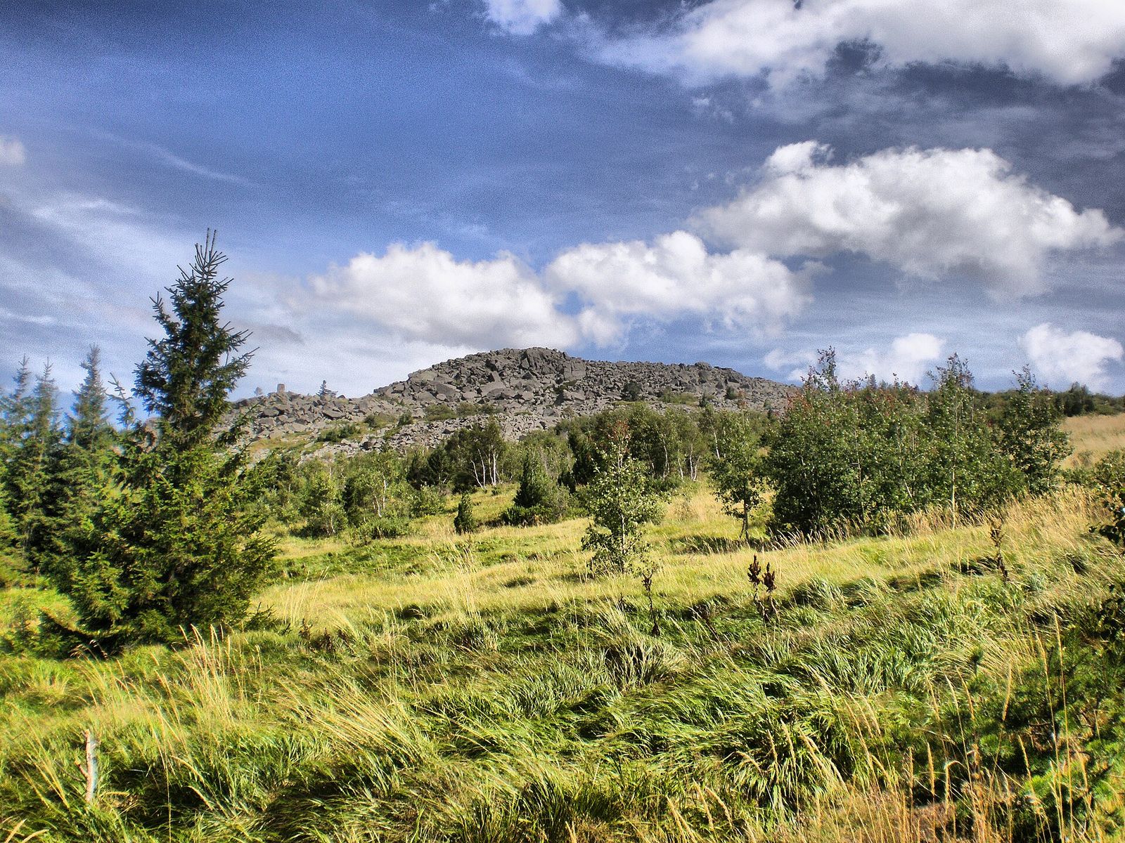
Because the rocks face the city, the view is straight down onto Sofia. The trail signs are in Bulgarian and English, and the flat ground makes it the hike I'd pick for families. For an even gentler day on Vitosha Mountain, the stone river at Zlatnite Mostove needs no climbing at all, and the Panoramic Path from Bistritsa is 8 km there and back and mostly flat.
3. Boyana Waterfall from Boyana Church
Boyana Waterfall is the biggest waterfall on Vitosha, a 25 m drop at 1,275 m above sea level. Take metro line 2 to Vitosha station and bus 64 to the Boyansko Hanche stop, then walk five minutes to Boyana Church, the UNESCO-listed church with frescoes from 1259. The trails start just above it.
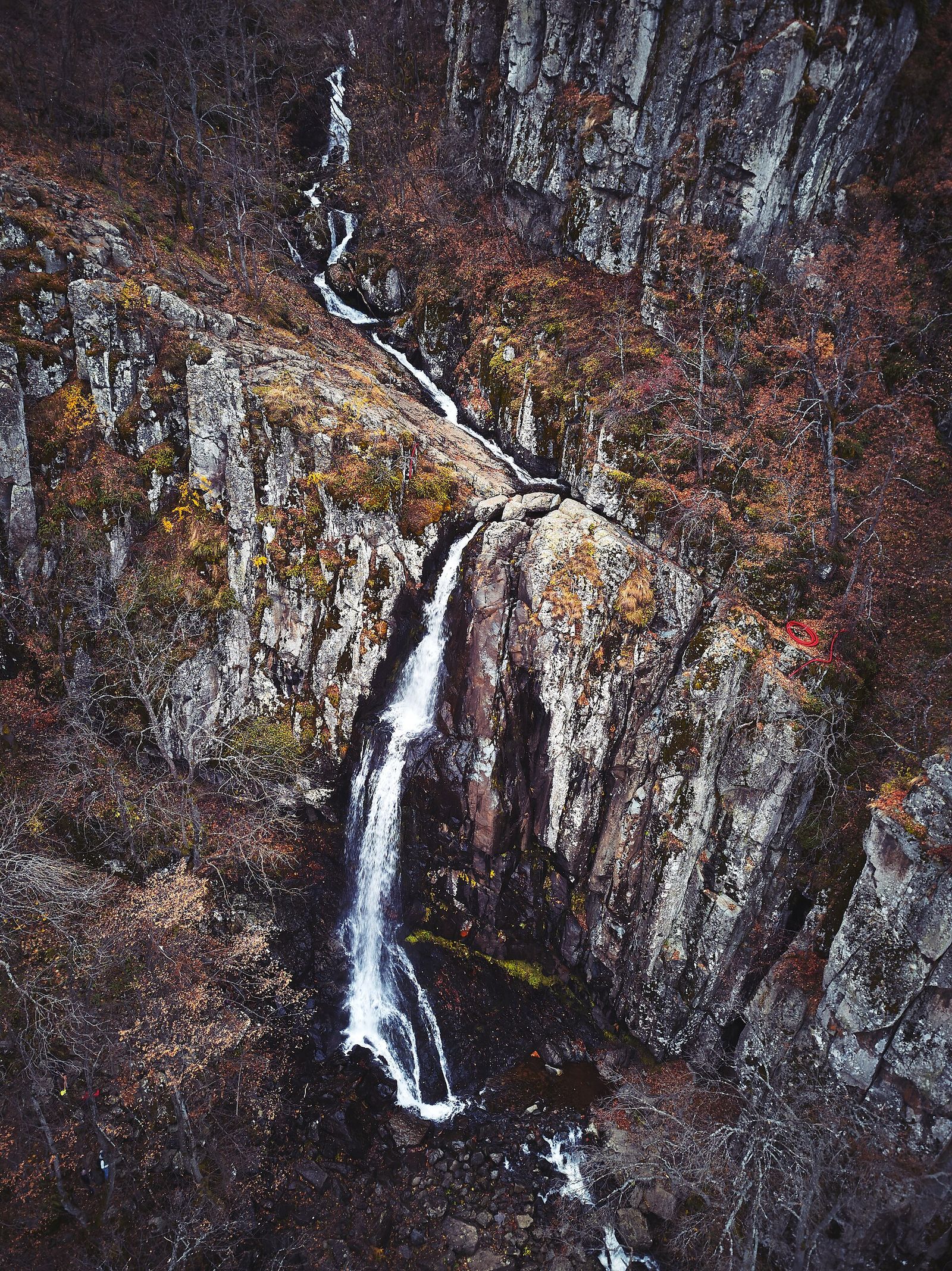
Two marked paths lead up. The riverside path is the steep one, about an hour, and I'd skip it when the rocks are wet. The green-marked path takes about 1.5 hours past Boyana Lake and through the only natural yew forest on Vitosha. The fall is fullest in spring, freezes for ice climbers in winter, and draws a crowd on weekends.
4. Kopitoto from Knyazhevo
Kopitoto, the hoof, is the rocky knob above the western suburbs that carries the Vitosha TV tower, built in 1985 at 1,345 m. Tram 5 runs to the end of the line in Knyazhevo, and trails climb from there to the tower in 2 to 2.5 hours, with about 700 m of ascent.
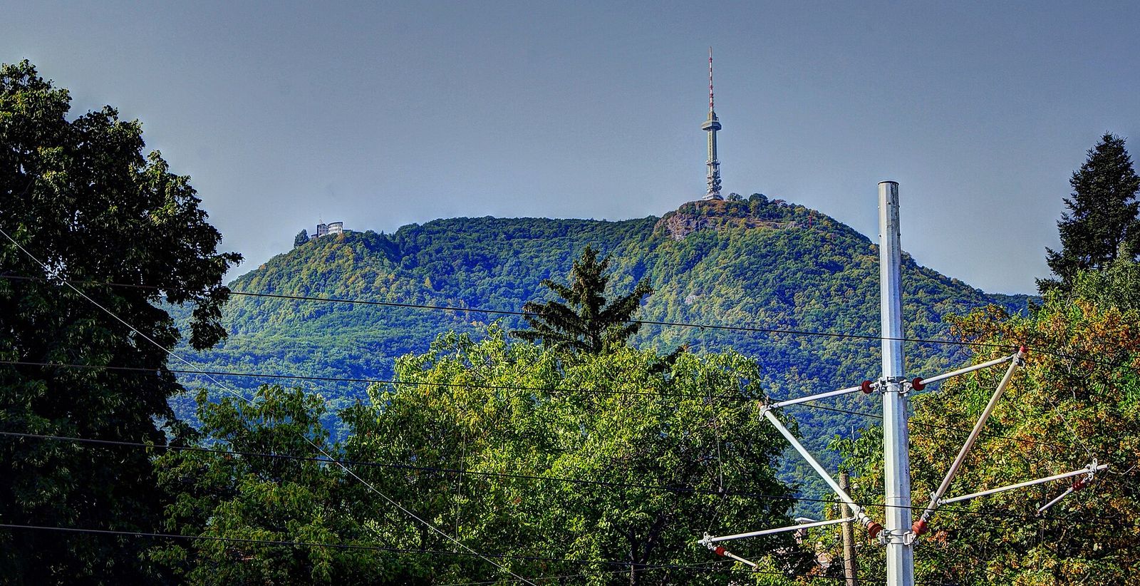
The tower is closed to visitors, but the ground beside it looks out over the western districts of Sofia, and the view is best toward sunset. For food, the huts and restaurants at Momina Skala are under 30 minutes' walk south of the tower.
Hikes in the Iskar Gorge by train
North of Sofia, the Iskar river cuts a deep gorge through the Balkan range, and the railway follows it. Trains leave from Sofia Central station, and the stations at Lakatnik and Bov are about an hour away, which makes the gorge the easiest hiking near Sofia on a weekday without a car. On the trains in Bulgaria that run up the gorge, I'd pick one stop for the day and plan the hike around the timetable.
5. Lakatnik Rocks
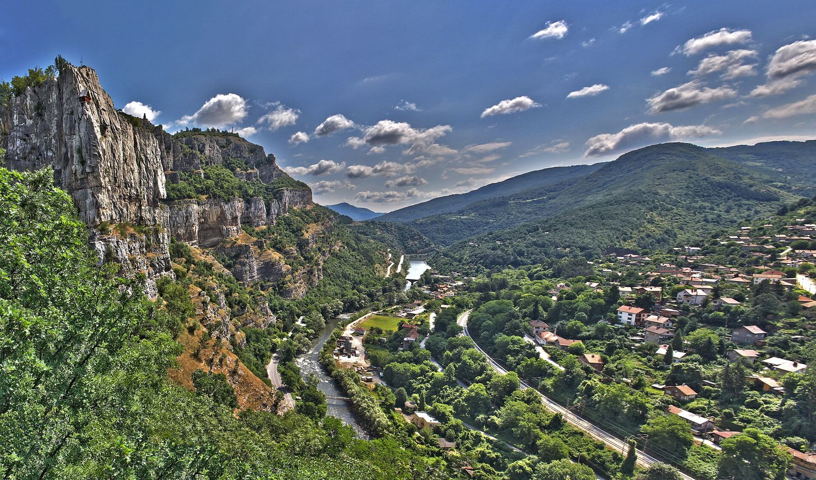
The Lakatnik Rocks are limestone cliffs up to 250 m high on the left side of the gorge, rising straight above the river and the railway at Lakatnik station. Their name comes from lakat, the Bulgarian word for elbow, after the sharp bend the river makes below them.
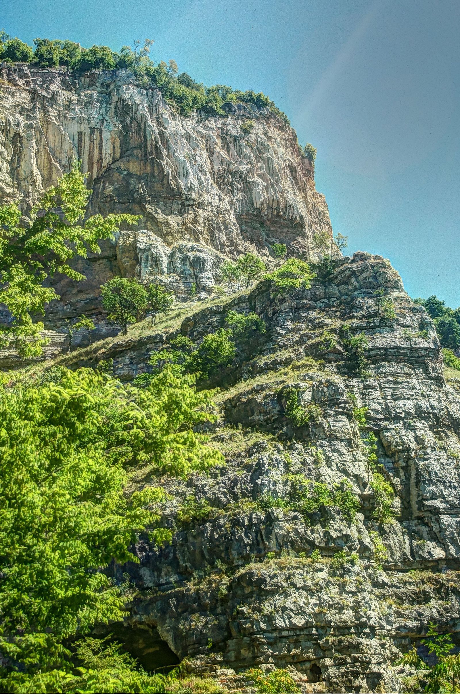
The cliffs hold karst caves. Temnata Dupka, the Dark Hole, is not set up for visitors, so bring a good flashlight if you go in. The rocks are also a climbing site, and a small red house sits on the cliff face, known as the Eagle's Nest.
For a proper hike, take the minibus from the station up to the village of Lakatnik, the start of a 1 to 1.5 hour climb to Trastena hut at 1,130 m in Western Stara Planina. The hut is known for its raspberry plantations and the raspberry wine made from them.
6. Vazov's eco path and Skaklya waterfall
Vazov's eco path starts at the village of Bov, about 50 km from Sofia and a short walk from its station. The trail climbs for about 1.5 hours, and halfway up it reaches Skaklya, a waterfall about 120 m tall that drops in a thin ribbon down a limestone wall.
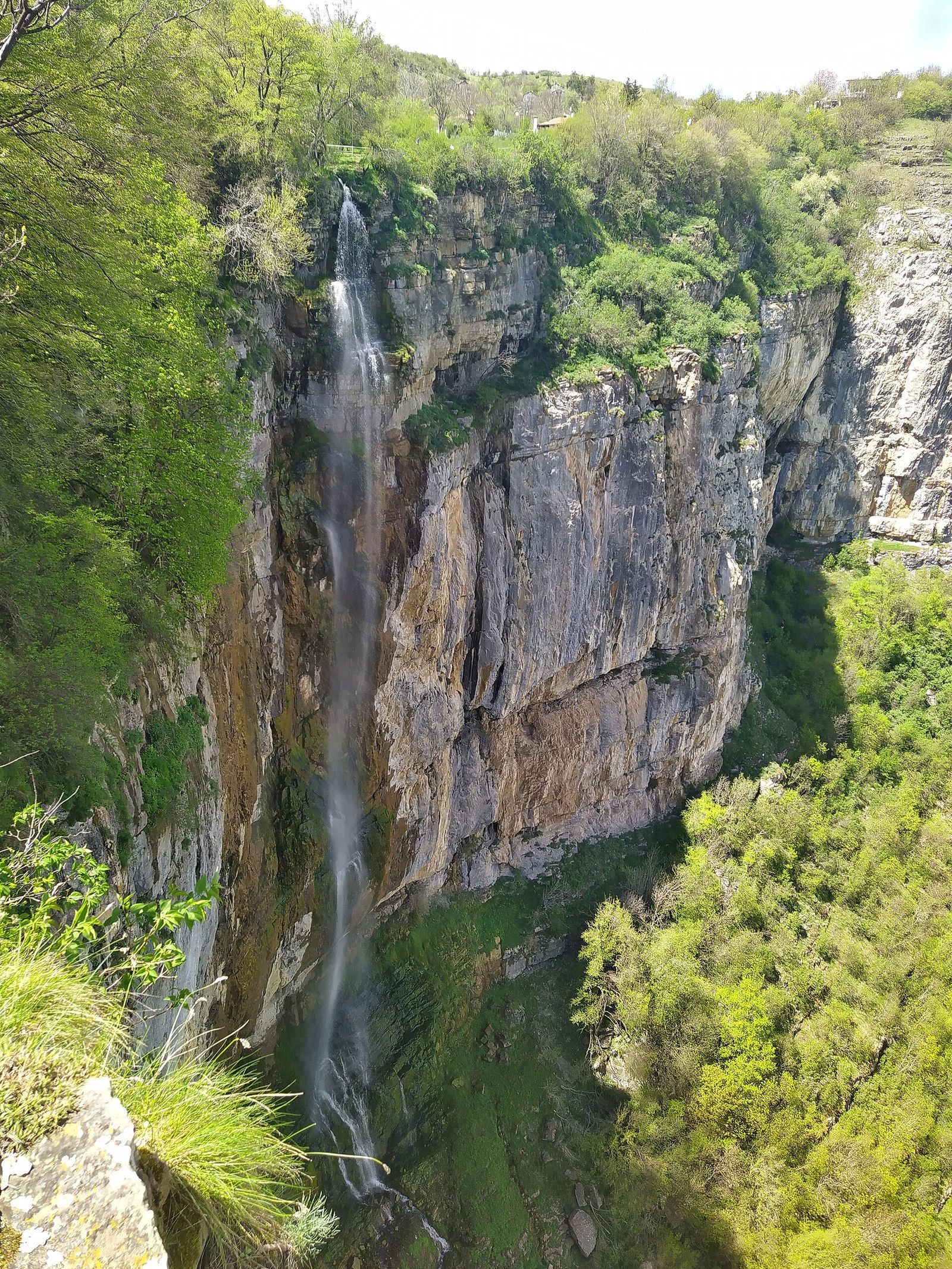
The path is named after the writer Ivan Vazov, whose story "Grandfather Yotso Is Watching" was inspired by this gorge. At the top the trail comes out on a meadow, a good place for lunch. Pod Kamiko, another waterfall, is nearby if you want to add one more stop.
Hikes in Rila
Rila is the highest mountain range in Bulgaria and the Balkans, and its big hikes start about 2 hours south of Sofia. Without a car you take a bus to Dupnitsa or Samokov and then a minibus or a taxi, so I'd catch the first bus of the day.
7. The Seven Rila Lakes
The Seven Rila Lakes are a staircase of glacial lakes between 2,095 and 2,535 m, the most visited natural site in Bulgaria. A chairlift from Pionerska hut lifts you to the start of the loop, and the walk past the lakes to the ridge above them takes 3 to 5 hours.
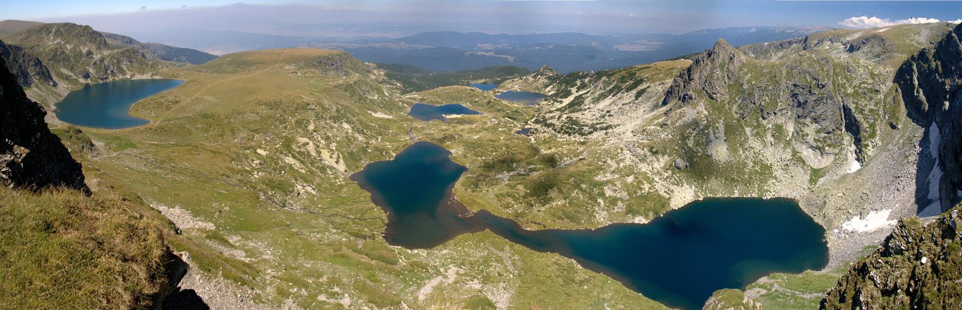
The chairlift costs €16 return for adults in 2026. By car it is about 1.5 to 2 hours from Sofia; by public transport it is a bus to Dupnitsa and a taxi to the lift. The Seven Rila Lakes are the best summer hike near Sofia, and on a July weekend also the busiest, so go on a weekday if you can.
8. Musala from Borovets
Musala, at 2,925 m, is the highest peak in Bulgaria and the Balkans. The gondola from the ski resort of Borovets, about 73 km from Sofia, rises to Yastrebets at 2,369 m, and from the top station the summit is 3 to 4 hours away on foot, past a chain of glacial lakes below the peak.
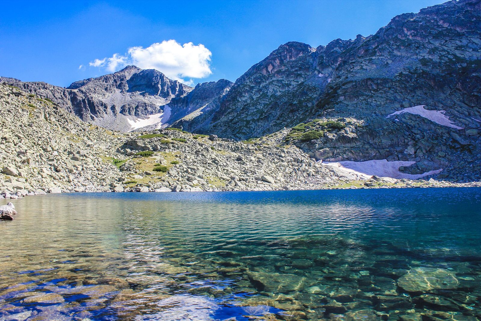
Without a car, take a bus from Sofia to Samokov and a minibus to Borovets. Outside the ski season the gondola runs Wednesday to Sunday from 8:30 AM to 6 PM and is closed on Monday and Tuesday. The ground gets rockier the higher you go, so this is a hike for proper boots and decent fitness.
9. Malyovitsa
Malyovitsa is a 2,729 m peak in northwestern Rila, and Bulgarian rock climbing was born on its north face. The hike starts at the Central Mountaineering School at Malyovitsa, reached by bus to Samokov and then a minibus or taxi, and it takes about 5 hours.
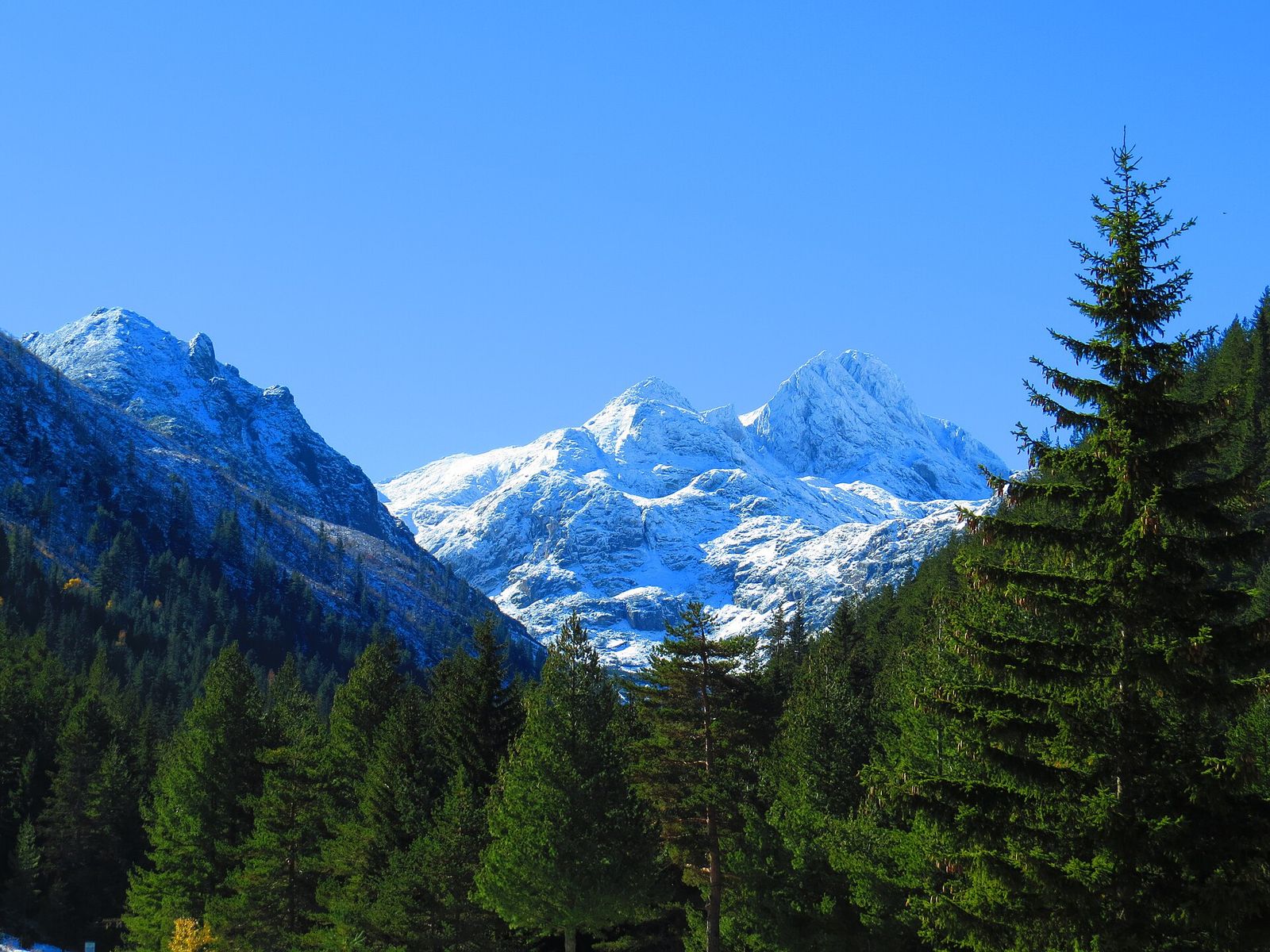
On summer weekends the trail gets crowded, so I'd go midweek. From the same trailhead a marked route leads to Strashnoto, the Scary Lake, at the foot of the three Kupen peaks, named for the way storms echo around it. A small unstaffed shelter stands beside the lake.
10. The Beli Iskar eco path
The Beli Iskar eco path is the gentle Rila hike: 7 km along the Beli Iskar river at the edge of Rila National Park, with seven bridges over the water and only about 300 m of climbing. It suits anyone who wants a day in the Rila forest without a summit.
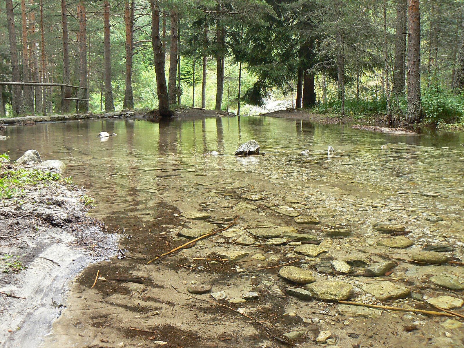
A minibus from Samokov runs to the village of Beli Iskar, where the path begins. It makes a good choice for families, or for a day when the high peaks are in cloud.
Longer day hikes by bus and train
Kom in Stara Planina and Bogdan in Sredna Gora are both reachable by public transport, and each needs an early start and a full day.
11. Kom from Petrohan pass
Kom, at 2,016 m, is the highest peak of the Berkovitsa section of Western Stara Planina and the start of the Kom to Emine route, the longest marked trail in Bulgaria, which runs along the Balkan range to the Black Sea. A plaque to Ivan Vazov stands on the summit.
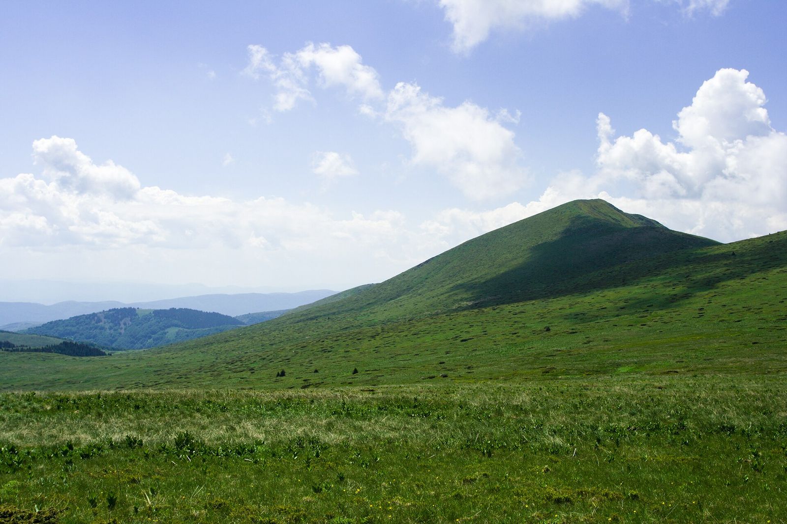
Take a bus from Sofia Central Bus Station toward Berkovitsa or Montana and get off at Petrohan pass. From the pass the route to the top is about 15 km and takes 3 to 3.5 hours, along open grassy ridges with wide views. Check the times of the buses back over the pass before you set off.
12. Bogdan from Koprivshtitsa
Bogdan is the highest peak in Sredna Gora, the lower, forested range east of Sofia, and the trail to it starts in Koprivshtitsa, the museum town of painted Revival houses. The hike up and back takes 5 to 6 hours.
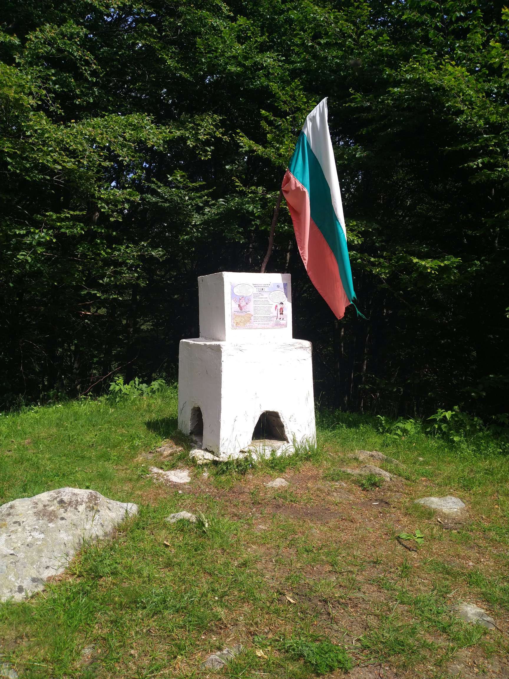
Koprivshtitsa is on the Sofia to Burgas railway, and a minibus timed with the trains covers the 8 to 10 km from the station to the town. The train takes about 2 hours, so I'd stay a night in the town and start the hike the next morning.
Which hike near Sofia to pick
My pick for each kind of day:
- One free afternoon. Kamen Del or Boyana Waterfall. Both are under 2 hours up from a city bus stop.
- A weekend day without a car. Cherni Vrah, with bus 66 running its full route to Aleko.
- A weekday without a car. The Iskar Gorge by train, since bus 66 is thin on weekdays. Lakatnik for cliffs, Bov for the waterfall.
- The best views for the effort. The Seven Rila Lakes on a clear summer weekday.
- A big summit. Musala, with the gondola, and an eye on the last ride down.
- Quiet trails. Kom or Bogdan, both far from the Vitosha crowds.
If you also want monasteries and old towns, the day trips from Sofia I'd pair with these hikes are Rila Monastery, Plovdiv and Koprivshtitsa. Rila Monastery and the Seven Rila Lakes sit in separate valleys, so they make two separate days. For Pirin, base yourself in Bansko for a weekend: Vihren, its highest peak, is 5 to 6 hours up from Vihren hut.
When to go hiking near Sofia
Mid-June to October is the main hiking season. Snow can lie on Cherni Vrah until mid-June and longer on the high Rila peaks, and the Seven Rila Lakes are frozen from about October to May. In July and August thunderstorms build over the summits in the afternoon, so start early and plan to be off the tops by early afternoon.
Spring is good for the lower walks, Boyana Waterfall at its fullest and the Iskar Gorge in green, while the high trails are still muddy or snowbound. Autumn is my favorite season on Vitosha, with blueberries along the trails and fewer people. The best time to visit Sofia for a mix of city and mountains is late June or September.
In winter Aleko becomes a ski area, the path up Cherni Vrah freezes into ice and packed snow, and Malyovitsa and Musala are for mountaineers with winter gear.
What to bring and how to stay safe
On Vitosha, wind, fog and low temperatures can arrive in any month, and in Rila the sun at 2,500 m burns fast. On top of a normal Bulgaria packing list, I'd carry a warm layer and a windproof jacket in every season, 1 to 2 liters of water, food for the day, sunscreen and an offline map on my phone. Boots with grip matter on the Boyana and Musala trails.
Mountain huts sell hot food on the popular routes, from Aleko on Vitosha to the hut at the top of the Rila Lakes chairlift, but carry cash, because small huts and minibuses rarely take cards.
Key takeaways
- Vitosha hikes start from city buses and trams: Cherni Vrah and Kamen Del from Aleko, Boyana Waterfall from Boyana, Kopitoto from Knyazhevo.
- The Iskar Gorge is the best hike by train, with Lakatnik and Bov about an hour from Sofia Central station.
- Rila's Seven Rila Lakes, Musala and Malyovitsa need an early bus or a car and a full day.
- Mid-June to October is the season; start early in summer to beat the afternoon storms.
- Carry a warm layer, water and cash on every hike, and call 112 in an emergency.
Frequently asked questions
What is the closest mountain to Sofia?
Vitosha. It starts at the city's southern edge, its top at Cherni Vrah is 2,290 m, and metro line 2 plus bus 66 take you to Aleko hut at 1,810 m. Lyulin and Plana, the other mountains around Sofia, are smaller and lower.
Can you go hiking near Sofia without a car?
Yes. Vitosha is reached by city bus and tram, the Iskar Gorge trails start at train stations about an hour from Sofia, and Koprivshtitsa is on the railway too. Rila needs a bus to Dupnitsa or Samokov and then a minibus or taxi.
How far are the Seven Rila Lakes from Sofia?
About 90 km, or 1.5 to 2 hours by car to the chairlift at Pionerska hut. By public transport it is a bus to Dupnitsa and a taxi to the lift, so I'd leave on the first bus.
What is the best day hike near Sofia?
The Seven Rila Lakes, on a clear summer weekday. For a hike that needs only city transport, Cherni Vrah from Aleko is the one I'd pick, 1.5 hours up to the 2,290 m top of Vitosha.
What is the hardest day hike near Sofia?
Musala and Malyovitsa in Rila. Musala is 3 to 4 hours of rocky walking up from the gondola to 2,925 m, and Malyovitsa is about 5 hours to a 2,729 m summit. Both are winter climbs for mountaineers only.
When is the best time to hike near Sofia?
Mid-June to October, when the high trails are clear of snow. Spring suits the lower walks like Boyana Waterfall and the Iskar Gorge, and in summer you should start early to beat the afternoon thunderstorms.
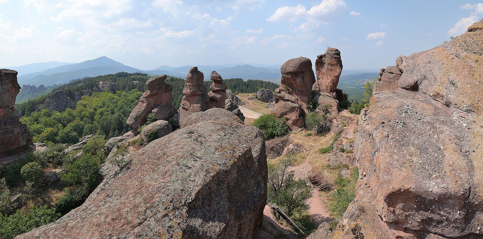
12 Best Day Trips from Sofia by Bus, Train and Car
Bulgaria's top monastery, oldest city and highest peak are a day out of Sofia. The 12 trips I'd pick and how to go.
Read the guide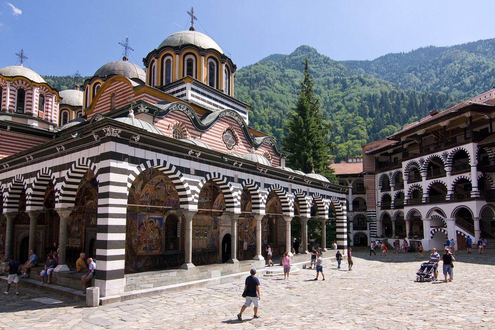
Rila Monastery from Sofia: How to Get There and What to See
Bulgaria's biggest monastery sits two hours from Sofia. How to reach it in 2026, what is free and what to see.
Read the guide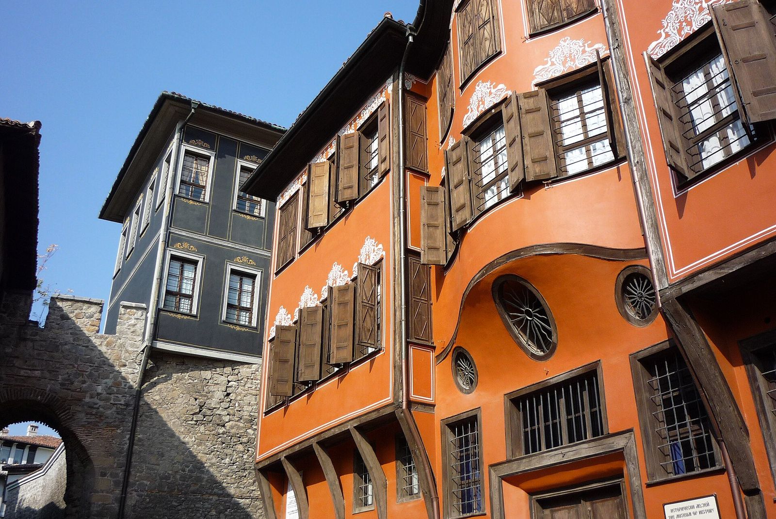
Sofia to Plovdiv: How to Get There and What to See in a Day
Plovdiv is 2 hours from Sofia by bus. Bus, train or car, the last rides home and the day I'd plan there.
Read the guide